


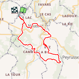

26 km | 33 km-effort

Benutzer GUIDE


Kostenlosegpshiking-Anwendung
 SityTrail
IGN / Geografische Institute
SityTrail World
Die Welt öffnet sich für Sie
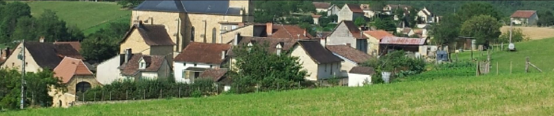
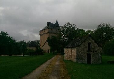
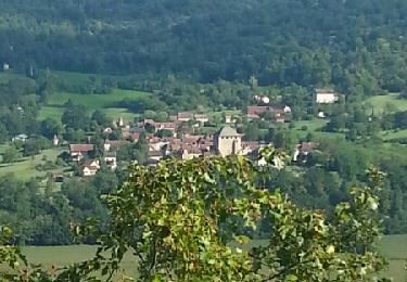
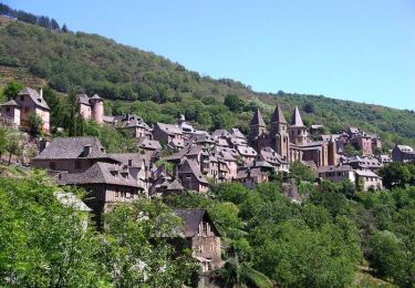
Tour Nordic Walking von 17,7 km verfügbar auf Okzitanien, Aveyron, Naussac. Diese Tour wird von yago1404 vorgeschlagen.
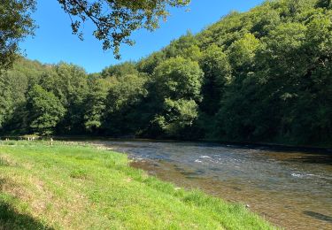
Tracé très varié avec un peu de route et beaucoup de chemins divers en sous-bois, champs, et parfois des dénivellations assez raides dans lesquelles les bâtons de marche nordique sont très appréciés.


Wandern
Mountainbike
Fahrrad


sport
sport

Wandern

Mountainbike
Wandern