37 km | 40 km-effort
vindefont
AMOURETTE
Benutzer
Länge
13,1 km
Maximale Höhe
39 m
Positive Höhendifferenz
95 m
Km-Effort
14,4 km
Min. Höhe
3 m
Negative Höhendifferenz
97 m
Boucle
Ja
Erstellungsdatum :
2022-05-31 12:06:44.009
Letzte Änderung :
2022-05-31 15:11:02.628
2h48
Schwierigkeit : Schwierig
Kostenlosegpshiking-Anwendung
Über SityTrail
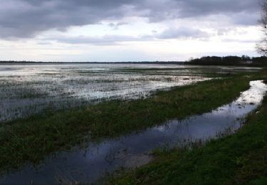
Tour Wandern von 13,1 km verfügbar auf Normandie, Manche, Picauville. Diese Tour wird von AMOURETTE vorgeschlagen.
Ort
Land:
France
Region :
Normandie
Abteilung/Provinz :
Manche
Kommune :
Picauville
Standort:
Vindefontaine
Gehen Sie:(Dec)
Gehen Sie:(UTM)
614343 ; 5466325 (30U) N.
Kommentare
Touren in der Umgebung
Autour de Picauville
Wandern
Schwierig
Picauville,
Normandie,
Manche,
France
13,8 km | 15,2 km-effort
3h 30min
Ja
PICAUVILLE PETITE
Wandern
Einfach
Picauville,
Normandie,
Manche,
France
5,4 km | 5,8 km-effort
1h 19min
Ja
13262737-Lun 2607 P4 Du « BCN-BPF » au BPC (Bulots Pommes
Rennrad
Sehr schwierig
Étienville,
Normandie,
Manche,
France
148 km | 168 km-effort
9h 35min
Ja
10787760-DIM 2507 P4 Comme un pur-sang à travers les marais
Rennrad
Sehr schwierig
Picauville,
Normandie,
Manche,
France
120 km | 134 km-effort
8h 7min
Nein
vindefontaine
Wandern
Sehr leicht
(1)
Picauville,
Normandie,
Manche,
France
5 km | 5,6 km-effort
1h 16min
Ja
Cotentin Day 1
Wandern
Sehr leicht
Picauville,
Normandie,
Manche,
France
18 km | 20 km-effort
5h 12min
Nein