


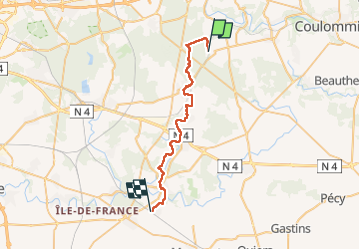

12 km | 13,8 km-effort

Benutzer GUIDE


Kostenlosegpshiking-Anwendung
 SityTrail
IGN / Geografische Institute
SityTrail World
Die Welt öffnet sich für Sie
Tour Wandern von 31 km verfügbar auf Île-de-France, Seine-et-Marne, Mortcerf. Diese Tour wird von chessyca vorgeschlagen.
11 étape du périple
Une étape plutôt simple (très peu de dénivelé)
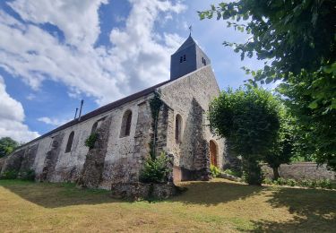
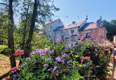
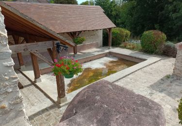
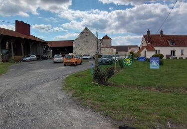
De très jolis villages et châteaux sur le parcours


Mountainbike
Zu Fuß
Wandern
Wandern

Wandern
Wandern


sport
Wandern
Wandern