


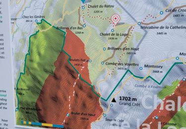
8,4 km | 12,3 km-effort

Benutzer


Kostenlosegpshiking-Anwendung
 SityTrail
IGN / Geografische Institute
SityTrail World
Die Welt öffnet sich für Sie
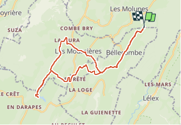
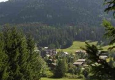
Tour Wandern von 21 km verfügbar auf Burgund und Freigrafschaft, Jura, Bellecombe. Diese Tour wird von Greg813 vorgeschlagen.
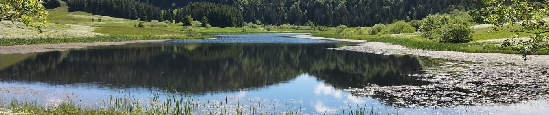
Randonnée avec Mettons le Monde en Marche aux environs de Les Moussières.
Pour d'autres photos, voir le site de l'association :
https://mmm-rando.org/le-haut-jura-en-etoile/


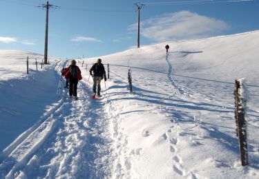
Schneeschuhwandern

Wandern
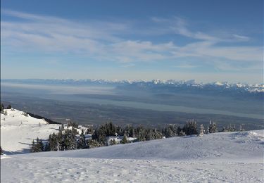
Schneeschuhwandern
Mountainbike

Wandern

Fahrrad
Wandern

Laufen
Laufen