


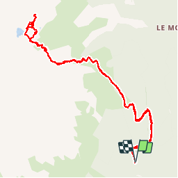

8,8 km | 18 km-effort

Benutzer


Kostenlosegpshiking-Anwendung
 SityTrail
IGN / Geografische Institute
SityTrail World
Die Welt öffnet sich für Sie
Tour Wandern von 13,4 km verfügbar auf Auvergne-Rhone-Alpen, Isère, Allemond. Diese Tour wird von Noiraude vorgeschlagen.
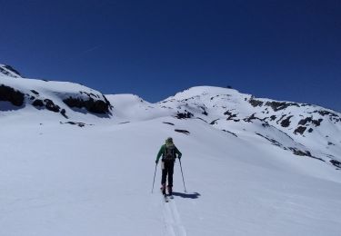
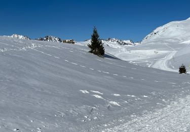
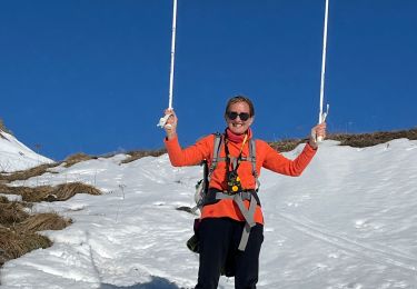
Agréable randonnée au départ d'Allemond sur un versant moins couru de Belledonne.
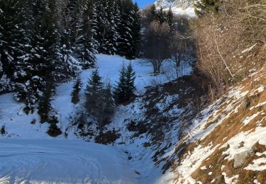
Sentier agréable qui démarre en forêt (départ un peu raide sur les premiers 500m)pour se poursuivre dans les Rhododendrons et Myrtilles.
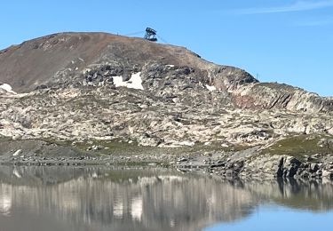
Un dernier effort pour passer le verrou du lac avant de découvrir un joli lac d'un bleu limpide au pied du grand pic de Belledonne.
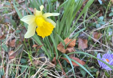
Beaucoup de faune dans le secteur (mouflons, aigles, chamois, bouquetins et marmottes).


Wandern
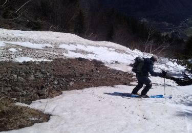
Skiwanderen
Skiwanderen

sport
sport
sport
Wandern
Wandern
sport