


9,5 km | 13,3 km-effort

Benutzer


Kostenlosegpshiking-Anwendung
 SityTrail
IGN / Geografische Institute
SityTrail World
Die Welt öffnet sich für Sie
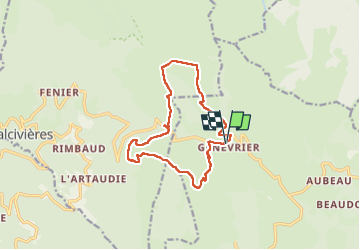
Tour Wandern von 13,4 km verfügbar auf Auvergne-Rhone-Alpen, Puy-de-Dôme, Saint-Anthème. Diese Tour wird von swp648 vorgeschlagen.
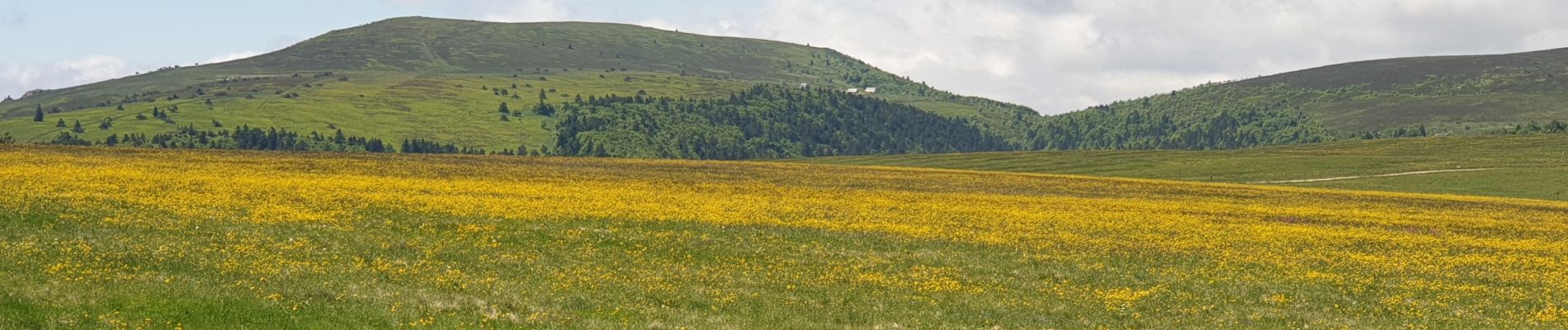
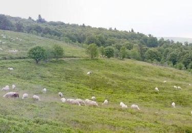
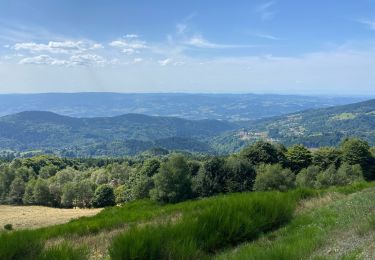
Parcours très fleuri et belles jasseries à découvrir, déjeuner à l'auberge des Gentianes au col des Supeyres où nous avons eu un bon accueil où nous avons dégusté un très bon plateau de charcuterie.
Visiter l'écomusée au Coq noir.


Wandern

Wandern

Zu Fuß

Zu Fuß

Pferd
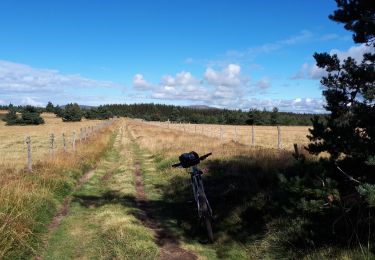
Mountainbike
Wandern
Wandern
Wandern
Secteur des hautes chaumes