


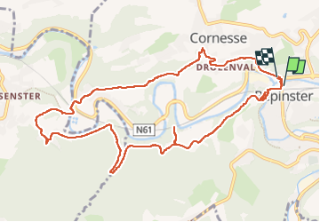

12,7 km | 16,8 km-effort

Benutzer GUIDE


Kostenlosegpshiking-Anwendung
 SityTrail
IGN / Geografische Institute
SityTrail World
Die Welt öffnet sich für Sie
Tour Wandern von 11,1 km verfügbar auf Wallonien, Lüttich, Pepinster. Diese Tour wird von stef789 vorgeschlagen.
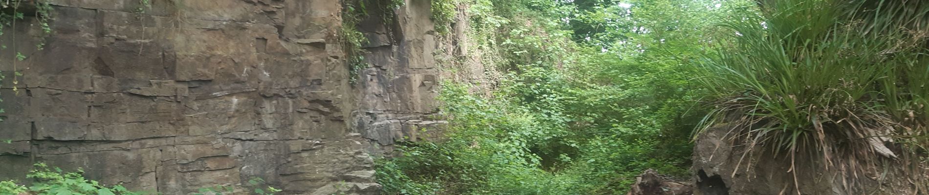
des passages assez hard, faites la en sens inverse sans traverser le chemin de fer (au debut) mais en continuant sur la route montante


Wandern

Wandern


Wandern

Wandern

Wandern

Wandern

Wandern

Wandern