


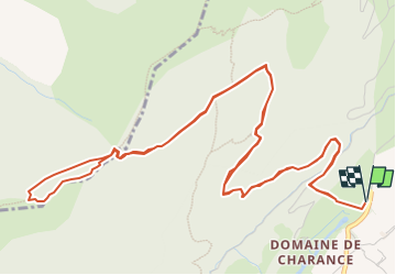

8,6 km | 18,5 km-effort

Benutzer GUIDE


Kostenlosegpshiking-Anwendung
 SityTrail
IGN / Geografische Institute
SityTrail World
Die Welt öffnet sich für Sie
Tour Wandern von 8,9 km verfügbar auf Provence-Alpes-Côte d'Azur, Hochalpen, Gap. Diese Tour wird von Marco05 vorgeschlagen.
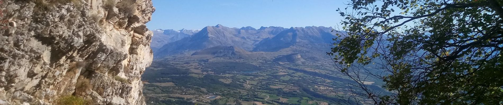
Belle montée au dessus de Gap, en partant du domaine de Charance.
Départ au parking du lac.
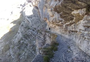
Randonnée qui demande un peu de condition physique.
Le passage de la brèche peut s'avérer délicat en début de saison (un névé tardif), surtout à la descente.


Wandern

Wandern

Wandern

Wandern

Wandern

Wandern

Wandern

Zu Fuß
Wandern