


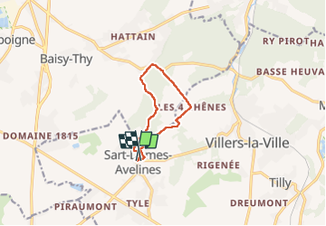

13,3 km | 16,4 km-effort

Benutzer GUIDE


Kostenlosegpshiking-Anwendung
 SityTrail
IGN / Geografische Institute
SityTrail World
Die Welt öffnet sich für Sie
Tour Wandern von 7,5 km verfügbar auf Wallonien, Wallonisch-Brabant, Villers-la-Ville. Diese Tour wird von Desrumaux vorgeschlagen.
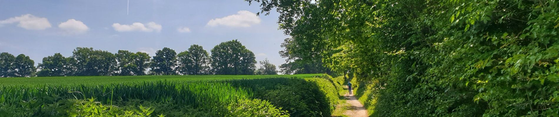
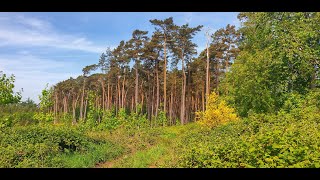
Jolie balade dans le Brabant Wallon au départ du village de Sart-Dames-Avelines vers les quatre chênes par le bois de Bérines.


Wandern

Wandern

Wandern

Wandern

Wandern

Wandern

Wandern

Wandern
Wandern