


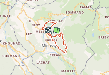

8 km | 16,3 km-effort

Benutzer GUIDE


Kostenlosegpshiking-Anwendung
 SityTrail
IGN / Geografische Institute
SityTrail World
Die Welt öffnet sich für Sie
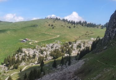
Tour Wandern von 11,9 km verfügbar auf Auvergne-Rhone-Alpen, Hochsavoyen, Mieussy. Diese Tour wird von Kargil vorgeschlagen.
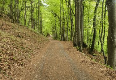
Immédiatement dans le bain avec 500 m de dénivelé bien raide.
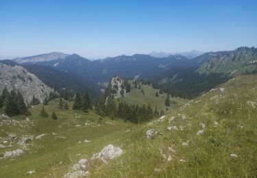
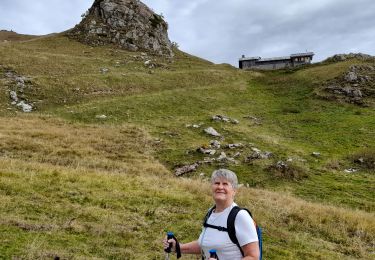
Pas de difficulté particulièrement, les passages aériens sont soft et bien équipés. Seules les personnes sujettes au vertige ou à une forte appréhension pourrait être bloquées.
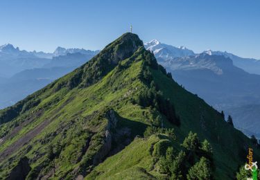
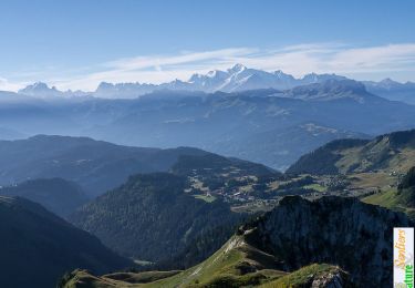
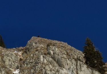
Belle vue sur les Aravis au point culminant.
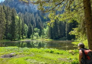
J'ai créé une extension après le retour au parking pour quelques kilomètres de plus sur de larges sentiers agréables.


Wandern
Wandern
Wandern
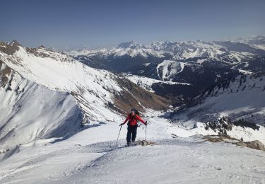
Skiwanderen
Wandern
Wandern
Wandern
Wandern
Skiwanderen