


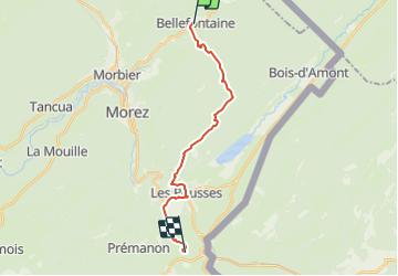


15 km | 21 km-effort


Benutzer


Kostenlosegpshiking-Anwendung
 SityTrail
IGN / Geografische Institute
SityTrail World
Die Welt öffnet sich für Sie
Tour Wandern von 16,5 km verfügbar auf Burgund und Freigrafschaft, Jura, Bellefontaine. Diese Tour wird von nfranche vorgeschlagen.
La Grande Traversée du Jura de Pontarlier à Bellegarde-sur-ValserineEtape 5 : Bellefontaine - La Grenotte

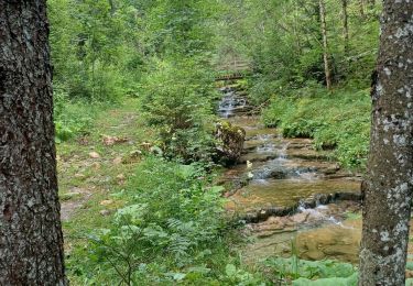
Wandern

Wandern

Wandern
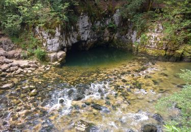
Wandern
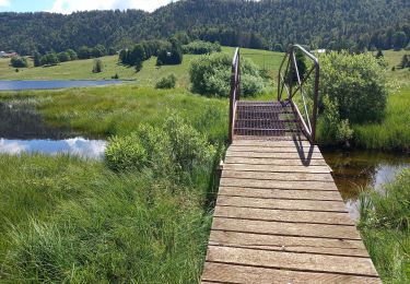
Wandern
Wandern

Hybrid-Bike

Schneeschuhwandern

Wandern