


8,5 km | 10,6 km-effort

Benutzer


Kostenlosegpshiking-Anwendung
 SityTrail
IGN / Geografische Institute
SityTrail World
Die Welt öffnet sich für Sie
Tour Wandern von 1,4 km verfügbar auf Wallonien, Hennegau, Gerpinnes. Diese Tour wird von Valentine Vanherusegen vorgeschlagen.
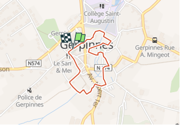
Distance : 2 km
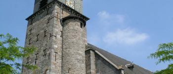
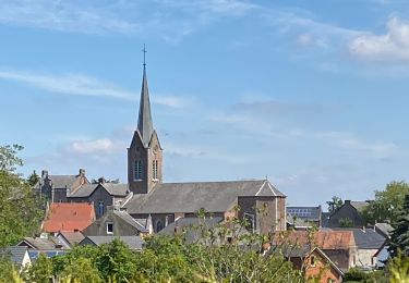
Départ : parvis de l’église Saint-Michel
Difficulté : moyenne, non accessible aux poussettes
Balisage : rectangle bleu
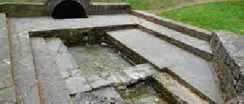
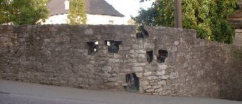
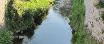
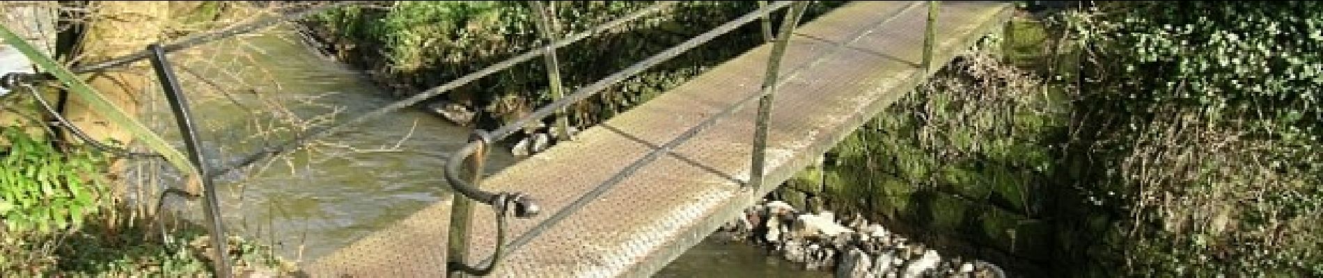
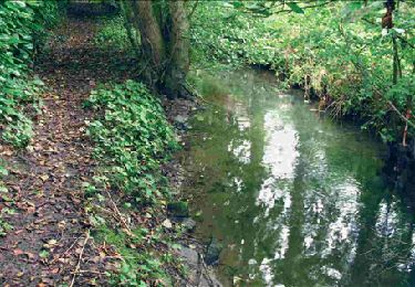
Amenées d’eau, naturelles ou réalisées par l’homme, quels que soient leurs matériaux, formes ou époques, sources, puits, pompes, lavoirs ont de tous temps joué un rôle prépondérant dans nos villes et villages.
Avec la modernisation de notre style de vie, elles ont failli disparaître.
Plus d'informations sur le site du Gal de l'entre Sambre et Meuse : http://www.entre-sambre-et-meuse.be/promenade-retour-aux-sources-a?lang=fr


Wandern
Wandern

Wandern
Wandern
Wandern
Wandern
Wandern
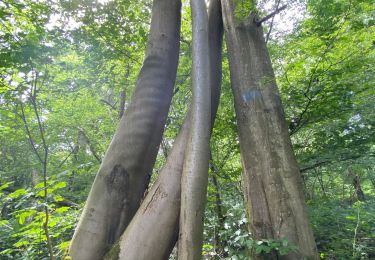
Wandern
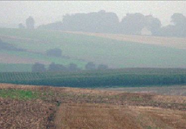
Wandern