


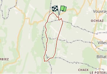


7,6 km | 9,6 km-effort


Benutzer


Kostenlosegpshiking-Anwendung
 SityTrail
IGN / Geografische Institute
SityTrail World
Die Welt öffnet sich für Sie
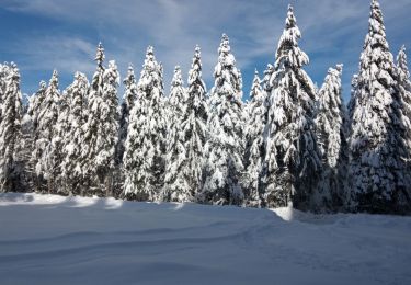
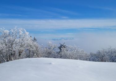
Tour Wintersport von 11,1 km verfügbar auf Auvergne-Rhone-Alpen, Ain, Valserhône. Diese Tour wird von yveshumbert vorgeschlagen.
Le chemin est tracé pour le ski de fond traditionnel et skating. Piste bien exposée au soleil. N'oubliez pas la crême solaire et les lunettes
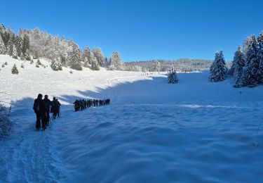
Schneeschuhwandern

Wandern
Wandern
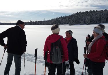
Schneeschuhwandern
Schneeschuhwandern
Schneeschuhwandern
Wandern
Wandern
Wandern