


15 km | 26 km-effort

Benutzer


Kostenlosegpshiking-Anwendung
 SityTrail
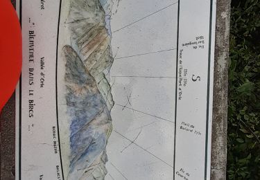
IGN / Geografische Institute
SityTrail World
Die Welt öffnet sich für Sie
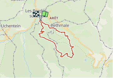
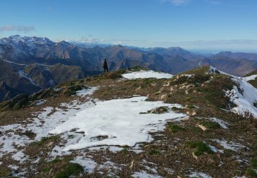
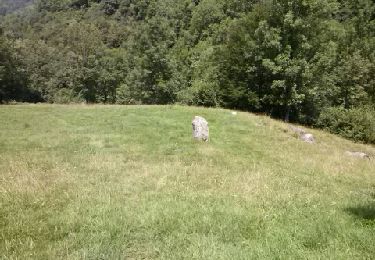
Tour Wandern von 14,6 km verfügbar auf Okzitanien, Ariège, Arrien-en-Bethmale. Diese Tour wird von chrisgps vorgeschlagen.
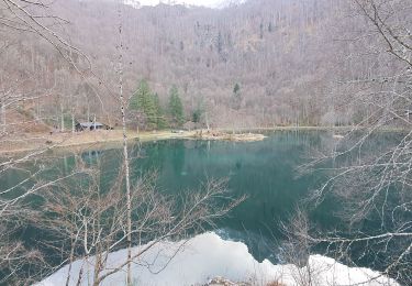
boucle "raccourcie" qui évite le lac de Bethmale.
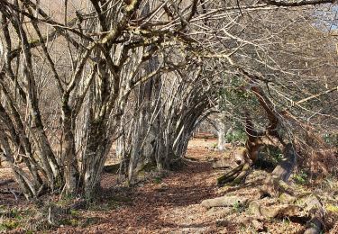
A la montée, à 2 reprises on "évite" la piste en prenant d'anciens chemins bien sûr plus entretenus.
Pour descendre, du parking du Mont Ner, on prend à gauche, l'ancienne piste que mène à la grange du même nom (pique-nique).On suit la lisière du bois jusqu'à la jonction avec le GR 10. Là, bifurcation tout à gauche pour un "tout droit" pour rejoindre plus bas la piste forestière de MontNer (1230m).
Juste après le 2ème lacet et avant la ravine, repérer à gauche le départ d'un vieux chemin encombré mais "faisable" ou subsistent des balises "vert clair". C'est "un raccourci" qui nous ramène sur le GR10 un peu avant Salabert (grange rénovée).
Rencontre plus bas du canal qui va nous accompagner jusqu'à l'ancien gîte de La Bouche, notre point de départ.


Wandern


Wandern
Wandern
Wandern
Wandern
Wandern
Wandern
Wandern