


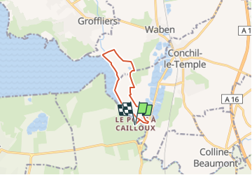

9,9 km | 10,5 km-effort


Benutzer


Kostenlosegpshiking-Anwendung
 SityTrail
IGN / Geografische Institute
SityTrail World
Die Welt öffnet sich für Sie
Tour Wandern von 7,6 km verfügbar auf Nordfrankreich, Somme, Quend. Diese Tour wird von lpa0174 vorgeschlagen.
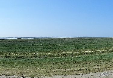
rando très agréable, la première partie jusqu’au port de la mamelon est submergée aux grande marées, tout le reste est un chemin empierre

Wandern
Zu Fuß

Rennrad
Wandern

Zu Fuß
Wandern

Wandern
Wandern
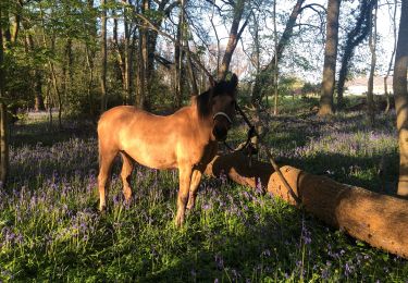
Reiten