


10,3 km | 13,8 km-effort


Benutzer


Kostenlosegpshiking-Anwendung
 SityTrail
IGN / Geografische Institute
SityTrail World
Die Welt öffnet sich für Sie
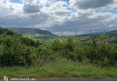
Tour Zu Fuß von 16,6 km verfügbar auf Okzitanien, Aveyron, Millau. Diese Tour wird von CASSISFRAMBOISE vorgeschlagen.
départ de Massebiau ; on se gare près du pont béton, sur la Dourbie. On passe en rive gauche.
Attention: ce tracé est approximatif .
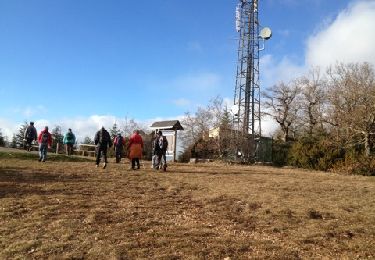
Wandern
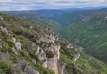
Wandern

Wandern
Wandern
Elektrofahrrad
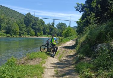
Elektrofahrrad
Elektrofahrrad
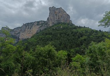
Wandern

Wandern