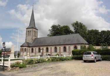
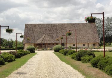
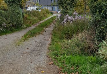
8,1 km | 9,4 km-effort
circuit de randonnée de limesy
michel soares
Benutzer
Länge
9,2 km
Maximale Höhe
153 m
Positive Höhendifferenz
117 m
Km-Effort
10,7 km
Min. Höhe
107 m
Negative Höhendifferenz
114 m
Boucle
Nein
Erstellungsdatum :
2022-04-19 11:25:43.296
Letzte Änderung :
2022-04-19 14:12:04.777
2h44
Schwierigkeit : Medium
Kostenlosegpshiking-Anwendung
Über SityTrail
Tour Wandern von 9,2 km verfügbar auf Normandie, Seine-Maritime, Limésy. Diese Tour wird von michel soares vorgeschlagen.
Beschreibung
Circuit assez plaisant, chemins forestier, Pline et villages
Ort
Land:
France
Region :
Normandie
Abteilung/Provinz :
Seine-Maritime
Kommune :
Limésy
Standort:
Unknown
Gehen Sie:(Dec)
Gehen Sie:(UTM)
349827 ; 5497498 (31U) N.
Kommentare
Touren in der Umgebung
Circuit sur les traces du Seigneur d'Esneval
Zu Fuß
Einfach
Auzouville-l'Esneval,
Normandie,
Seine-Maritime,
France
6,3 km | 6,9 km-effort
1h 34min
Nein
Au Détours des Châteaux de Saint-Martin-aux-Arbres
Zu Fuß
Einfach
Motteville,
Normandie,
Seine-Maritime,
France
9,8 km | 11 km-effort
2h 29min
Ja
076-90-Pavilly / St Autreberthe 13.5km
Wandern
Medium
(1)
Pavilly,
Normandie,
Seine-Maritime,
France
12 km | 15 km-effort
3h 23min
Ja
20220203-Pavilly
Wandern
Medium
Pavilly,
Normandie,
Seine-Maritime,
France
12,1 km | 15 km-effort
3h 36min
Ja
Pavilly St. Austreberthe (51)
Wandern
Einfach
(2)
Pavilly,
Normandie,
Seine-Maritime,
France
10,3 km | 13 km-effort
2h 49min
Ja
Goupillieres 6
Wandern
Einfach
Goupillières,
Normandie,
Seine-Maritime,
France
6,8 km | 7,6 km-effort
1h 40min
Ja
Du centre de la Seine-Maritime à la découverte de Notre-Dame-de-France
Zu Fuß
Einfach
Ancretiéville-Saint-Victor,
Normandie,
Seine-Maritime,
France
10,1 km | 11,2 km-effort
2h 33min
Ja
2020-01-22_15h00m10_20200125-pavilly
Zu Fuß
Sehr leicht
Pavilly,
Normandie,
Seine-Maritime,
France
13 km | 16 km-effort
Unbekannt
Ja