


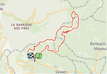


10,5 km | 17,7 km-effort

Benutzer


Kostenlosegpshiking-Anwendung
 SityTrail
IGN / Geografische Institute
SityTrail World
Die Welt öffnet sich für Sie
Tour Wandern von 21 km verfügbar auf Großer Osten, Oberelsass, Sewen. Diese Tour wird von Bart2015 vorgeschlagen.
Belle rando physique qui relie 3 lacs magnifiques et qui permet de voir la cascade du lac d'Alfeld ... à la fonte des neiges ...
Bonne rando ...


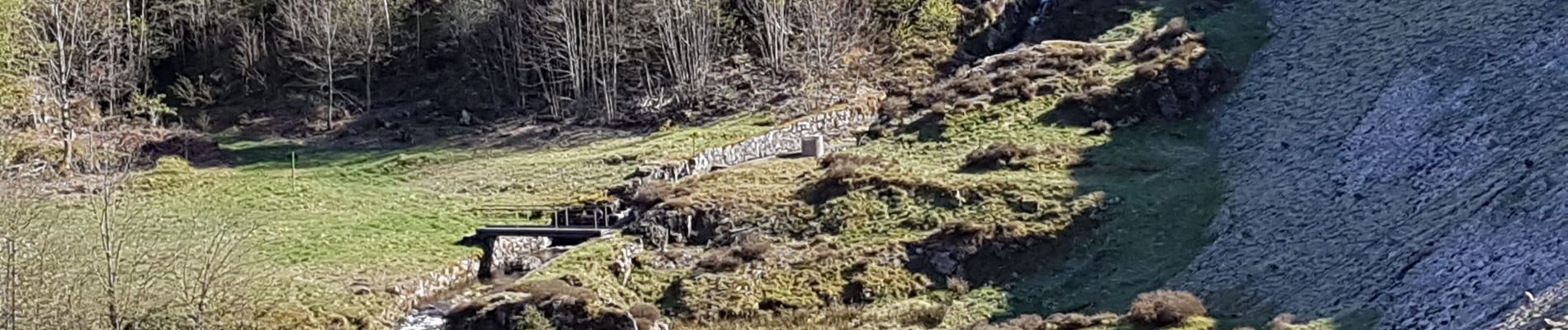
58 Fotos insgesamt. Klicken Sie auf ein Foto, um sie alle in der Galerie zu sehen.

Wandern

Wandern

Wandern

Wandern

Wandern

Wandern

Wandern

Wandern

Mountainbike