


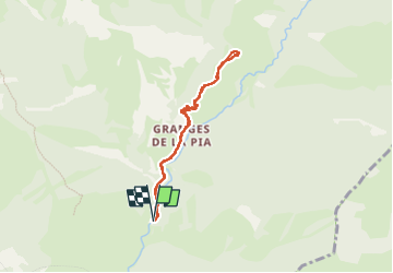

10,7 km | 16,9 km-effort

Benutzer


Kostenlosegpshiking-Anwendung
 SityTrail
IGN / Geografische Institute
SityTrail World
Die Welt öffnet sich für Sie
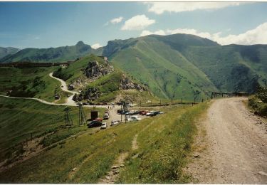
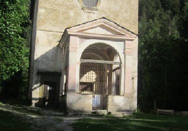
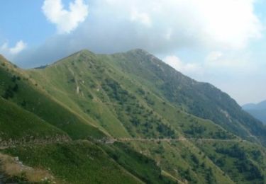
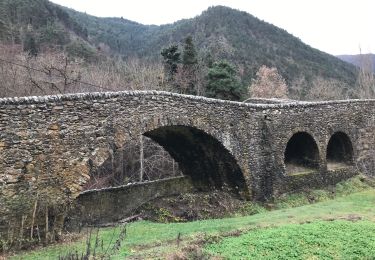
Tour Wandern von 7 km verfügbar auf Provence-Alpes-Côte d'Azur, Seealpen, Tende. Diese Tour wird von pln30 vorgeschlagen.
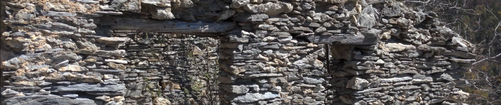
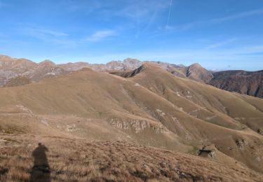
parcours en aller retour jusqu'au castel tournou qui est un fort militaire directement creuser dans le rocher. en temps normal il est possible de faire une boucle mais à ce jour le 17 04 22 le sentier est fermé entre les balises 307 et 308


Zu Fuß

Wandern

Wandern
Schneeschuhwandern

Wandern
Wandern
Mountainbike
Wandern
Wandern