


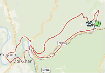


7,3 km | 10 km-effort

Benutzer


Kostenlosegpshiking-Anwendung
 SityTrail
IGN / Geografische Institute
SityTrail World
Die Welt öffnet sich für Sie
Tour Wandern von 13,7 km verfügbar auf Wallonien, Luxemburg, Bertrix. Diese Tour wird von BrigitteBertrand vorgeschlagen.
Depuis ka chapelle Sainte Barbe jusqu‘au vieux cimetière de Mortehan et retour par Cugnon


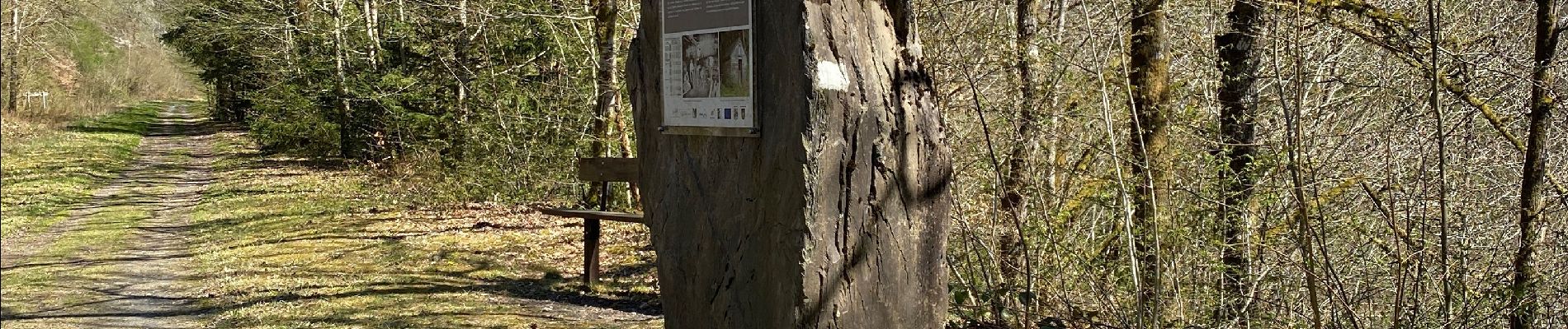
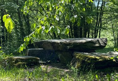
28 Fotos insgesamt. Klicken Sie auf ein Foto, um sie alle in der Galerie zu sehen.

Andere Aktivitäten
Andere Aktivitäten

Wandern

Wandern
Wandern

Wandern

Wandern

Wandern

Laufen