


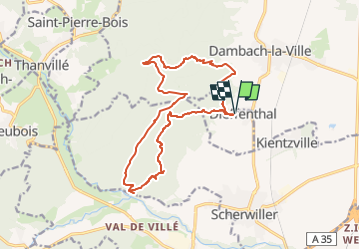

13 km | 18,5 km-effort


Benutzer


Kostenlosegpshiking-Anwendung
 SityTrail
IGN / Geografische Institute
SityTrail World
Die Welt öffnet sich für Sie
Tour Wandern von 15,6 km verfügbar auf Großer Osten, Unterelsass, Dieffenthal. Diese Tour wird von Gaëtan Isb vorgeschlagen.
Cette boucle permet de faire 3 châteaux avec différents points de vue et de couper la grande boucle en passant par la vallée du Mittelrain.

Wandern

Wandern
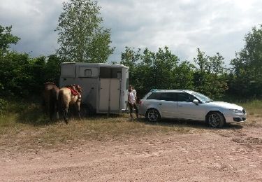
Pferd

Wandern

Wandern

Mountainbike

Wandern

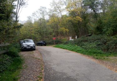
Pfad
Wandern