


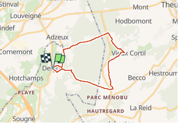

15,9 km | 21 km-effort

Benutzer GUIDE


Kostenlosegpshiking-Anwendung
 SityTrail
IGN / Geografische Institute
SityTrail World
Die Welt öffnet sich für Sie
Tour Wandern von 11,8 km verfügbar auf Wallonien, Lüttich, Aywaille. Diese Tour wird von mumu.larandonneuse vorgeschlagen.
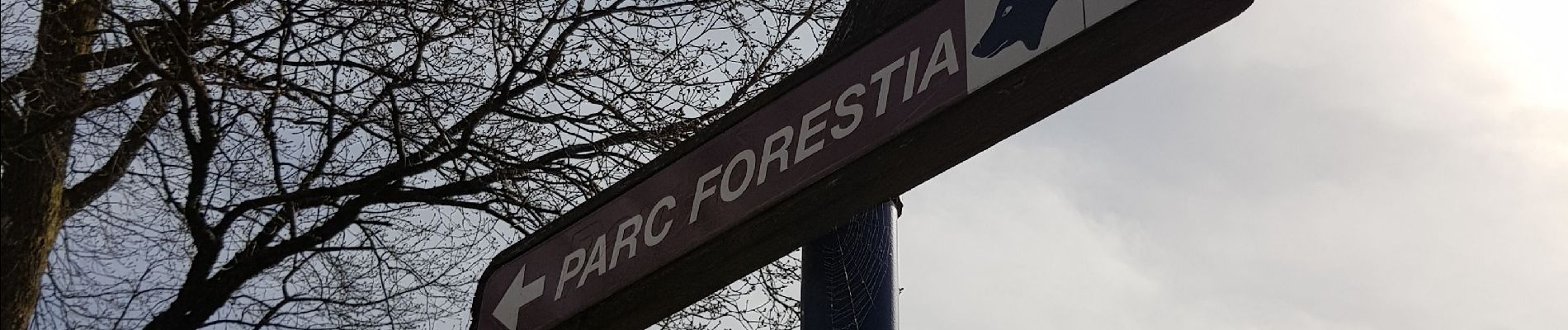
🇧🇪 Une belle randonnée forestière et campagnarde passant par le Ménobu, le bois Renard, le Parc à Gibiers Forestia, le domaine des Bruyères et Rouge Thier.
📍 & 🅿️ au centre de Deigné à l'église.
➡️ Possibilité de combiner avec la visite du parc à gibiers de La Reid.


Wandern


Wandern

Wandern

Wandern

Wandern

Wandern

Wandern

Wandern