


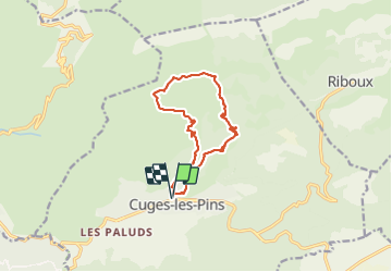

16,5 km | 24 km-effort

Benutzer


Kostenlosegpshiking-Anwendung
 SityTrail
IGN / Geografische Institute
SityTrail World
Die Welt öffnet sich für Sie
Tour Wandern von 12,3 km verfügbar auf Provence-Alpes-Côte d'Azur, Bouches-du-Rhône, Cuges-les-Pins. Diese Tour wird von Daniel.BRUN-PICARD vorgeschlagen.
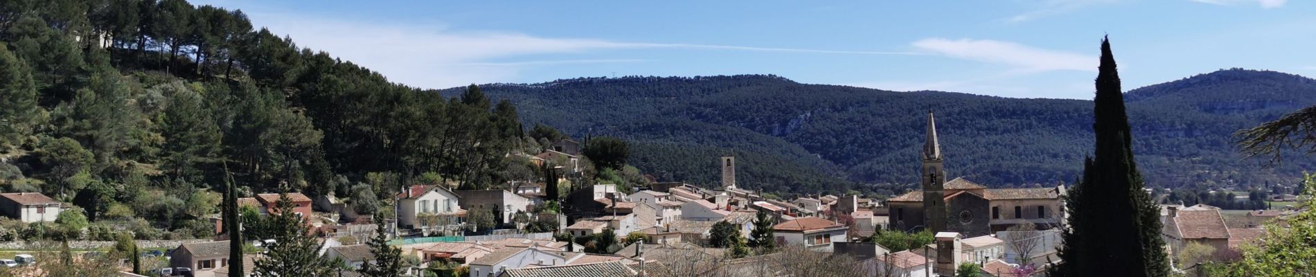
Belle randonnée effectuée avec le Touring Club du Var. Merci à notre accompagnateur.


Wandern

Wandern

Wandern

Wandern

Wandern

Wandern

Wandern

Wandern

Mountainbike