


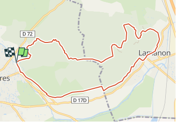

8,8 km | 11,4 km-effort


Benutzer


Kostenlosegpshiking-Anwendung
 SityTrail
IGN / Geografische Institute
SityTrail World
Die Welt öffnet sich für Sie
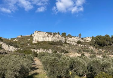
Tour Segelboot von 12,3 km verfügbar auf Provence-Alpes-Côte d'Azur, Bouches-du-Rhône, Eyguières. Diese Tour wird von randolacrau vorgeschlagen.
Randonnée prévu sans arrêt midi au resto car ils sont fermés le dimanche!
Départ: Parking Fontaine Gilouse
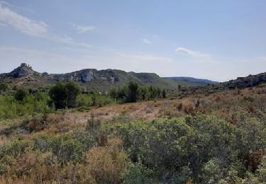
Wandern

Wandern

Wandern
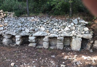
Wandern
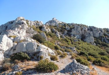
Wandern

Wandern
Wandern
Wandern

Wandern