


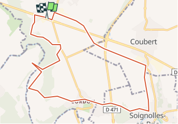

16,7 km | 18,8 km-effort


Club randonnées SERVON


Kostenlosegpshiking-Anwendung
 SityTrail
IGN / Geografische Institute
SityTrail World
Die Welt öffnet sich für Sie
Tour Zu Fuß von 11,2 km verfügbar auf Île-de-France, Seine-et-Marne, Grisy-Suisnes. Diese Tour wird von Les 1000 pattes vorgeschlagen.
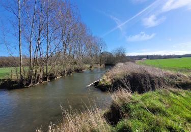
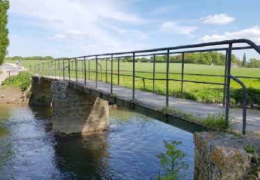
départ de grissy suisnes sur la D319, passage par Suisnes, le prieuré de Vernelles, Cordon, Soignolles, Coubert et retour par le chemin des Roses.

Wandern
Wandern

Wandern
Zu Fuß

Wandern
Wandern

Zu Fuß
Zu Fuß

Mountainbike