


 - Photo 21")
 - Photo 22")
 - Photo 23")
 - Photo 24")
 - Photo 25")
 - Photo 26")
 - Photo 27")
 - Photo 28")
 - Photo 29")
 - Photo 30")
 - Photo 31")
 - Photo 32")
 - Photo 33")
 - Photo 34")
 - Photo 35")
 - Photo 36")
 - Photo 37")
 - Photo 38")
 - Photo 39")
 - Photo 40")
 - Photo 41")
 - Photo 42")
 - Photo 43")
 - Photo 44")
 - Photo 45")
 - Photo 46")
 - Photo 47")
 - Photo 48")
 - Photo 49")
 - Photo 50")
 - Photo 51")
 - Photo 52")
 - Photo 53")
 - Photo 54")
 - Photo 55")
 - Photo 56")
 - Photo 57")
 - Photo 58")
 - Photo 59")
 - Photo 60")

8 km | 14,2 km-effort

Benutzer


Kostenlosegpshiking-Anwendung
 SityTrail
IGN / Geografische Institute
SityTrail World
Die Welt öffnet sich für Sie
Tour Wandern von 23 km verfügbar auf Madeira, Unbekannt, Porto da Cruz. Diese Tour wird von Bart2015 vorgeschlagen.
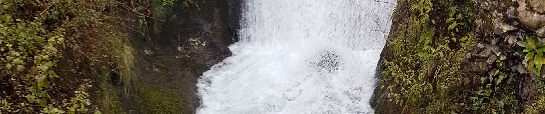
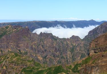
Belle randonnée au départ du lieu touristique de Ribeiro Frio et son élevage de truites. Elle longe le Levada do Furado et son ambiance très sauvage avec quelques belles cascades. Elle passe dans de petits tunnels qui ne nécessitent pas de frontale. Au détour quelques belles vues sur les sommets ou la côte agrémenteront la balade. Nous avons fait l'aller et le retour et dégusté une bonne truite au resto Ribeirio Frio ... Mais il est possible de prendre un taxi ...
Bonne rando ...
 - Photo 1")
 - Photo 2")
 - Photo 3")
 - Photo 4")
 - Photo 5")
 - Photo 6")
 - Photo 7")
 - Photo 8")
 - Photo 9")
 - Photo 10")
 - Photo 11")
 - Photo 12")
 - Photo 13")
 - Photo 14")
 - Photo 15")
 - Photo 16")
 - Photo 17")
 - Photo 18")
 - Photo 19")
 - Photo 20")
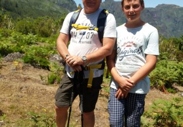
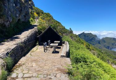
60 Fotos insgesamt. Klicken Sie auf ein Foto, um sie alle in der Galerie zu sehen.
Wandern
Zu Fuß
Wandern
Wandern
Wandern
Wandern
Zu Fuß
Zu Fuß
Zu Fuß