


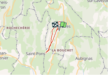

10,5 km | 15,5 km-effort


Benutzer


Kostenlosegpshiking-Anwendung
 SityTrail
IGN / Geografische Institute
SityTrail World
Die Welt öffnet sich für Sie
Tour Wandern von 8,3 km verfügbar auf Auvergne-Rhone-Alpen, Ardèche, Sceautres. Diese Tour wird von vincentcavailles vorgeschlagen.
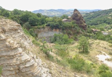
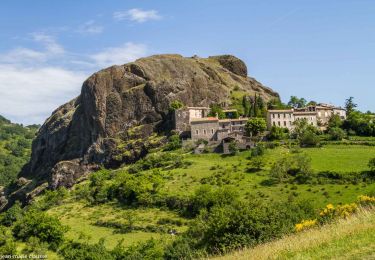
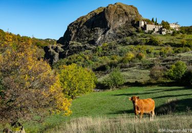
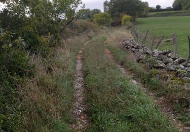
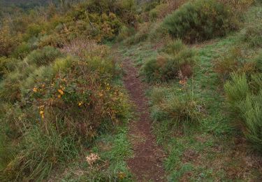
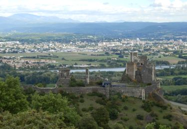
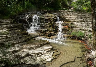
Jolie Ballade entre le village de Sceautres et Chaulène. Attention plusieurs barrières à vaches jalonnent le parcours. La randonnée se termine par le tour de la neck basaltique par le chemin géologique, puis retour par le lit de la rivière
Wandern
Wandern
Wandern
Wandern
Wandern
Wandern

Mountainbike
Mountainbike
Wandern