


10,5 km | 12,5 km-effort


Benutzer GUIDE


Kostenlosegpshiking-Anwendung
 SityTrail
IGN / Geografische Institute
SityTrail World
Die Welt öffnet sich für Sie
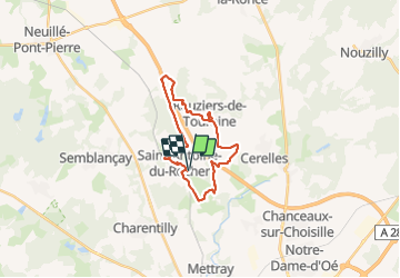
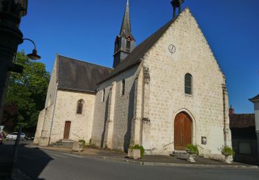
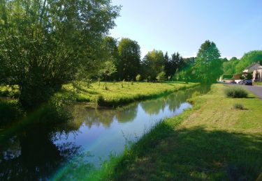
Tour Wandern von 21 km verfügbar auf Zentrum-Loiretal, Indre-et-Loire, Saint-Antoine-du-Rocher. Diese Tour wird von Orcal37 vorgeschlagen.
Saint-Antoine-du-Rocher - variante circuits 3 puis 4 et église de Rouziers-de-Touraine - 21.4km 165m 4h55 - 2022 04 03


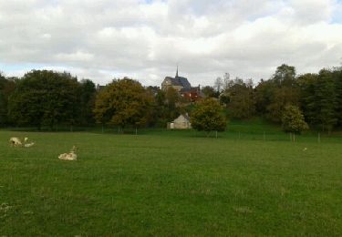
Wandern

Wandern

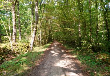
Wandern
Wandern
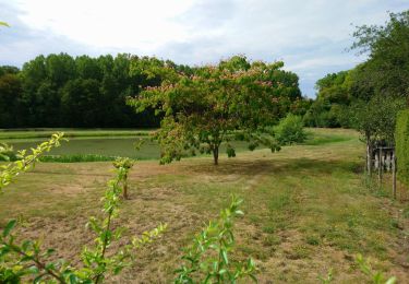
Wandern

Wandern
Wandern
Wandern

Wandern