


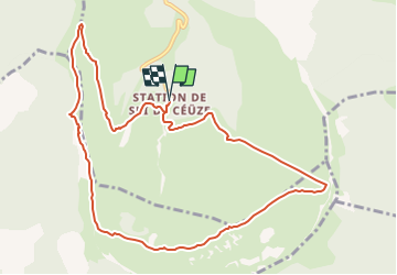

9,6 km | 15,6 km-effort

Benutzer GUIDE


Kostenlosegpshiking-Anwendung
 SityTrail
IGN / Geografische Institute
SityTrail World
Die Welt öffnet sich für Sie
Tour Wandern von 11,2 km verfügbar auf Provence-Alpes-Côte d'Azur, Hochalpen, Manteyer. Diese Tour wird von Marco05 vorgeschlagen.
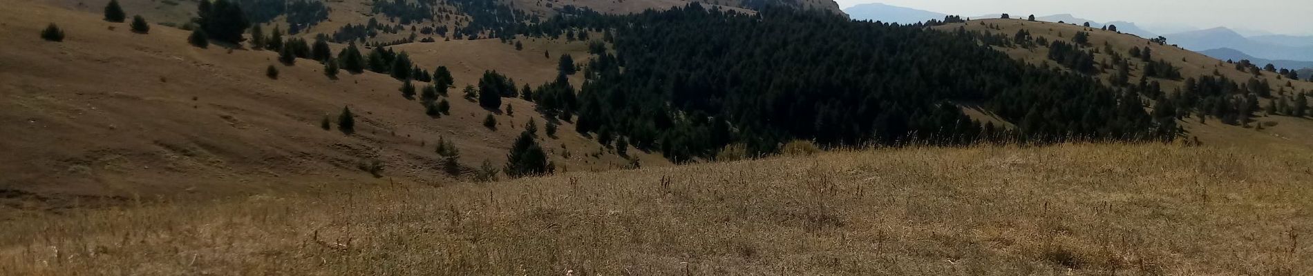
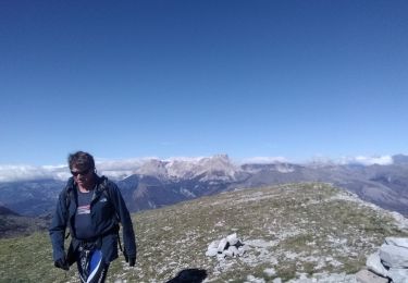
Ce tour du plateau de Ceüze, avec départ de la station, est une merveille.
Je classe difficile à cause d'une descente assez raide après le sommet du pic.
Sinon, pas de difficulté particulière.


Wandern

Mountainbike

Mountainbike

Pfad

Wandern

Wandern

Mountainbike
Wandern

Laufen