


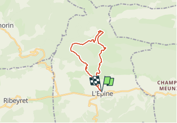

10,3 km | 19,1 km-effort


Benutzer GUIDE


Kostenlosegpshiking-Anwendung
 SityTrail
IGN / Geografische Institute
SityTrail World
Die Welt öffnet sich für Sie
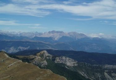
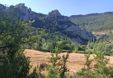
Tour Wandern von 10,8 km verfügbar auf Provence-Alpes-Côte d'Azur, Hochalpen, L'Épine. Diese Tour wird von Marco05 vorgeschlagen.
Petite randonnée très sympa, au dessus de L'Epine, une petite commune située à l'ouest de Serres.
Pas de difficulté particulière.


Wandern
Mountainbike

Wandern
Wandern
Andere Aktivitäten
Wandern

Mountainbike
Wandern
Wandern