


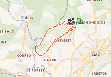

8,6 km | 18,5 km-effort

Benutzer GUIDE


Kostenlosegpshiking-Anwendung
 SityTrail
IGN / Geografische Institute
SityTrail World
Die Welt öffnet sich für Sie
Tour Wandern von 12,3 km verfügbar auf Provence-Alpes-Côte d'Azur, Hochalpen, Gap. Diese Tour wird von Marco05 vorgeschlagen.
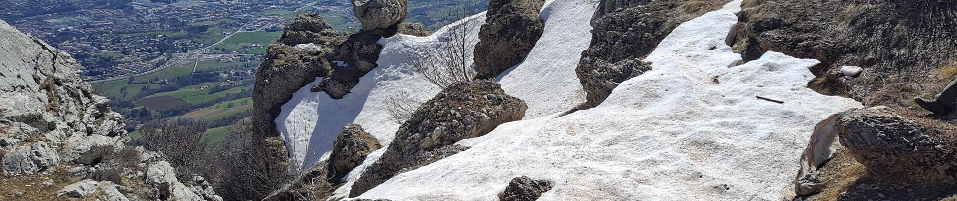
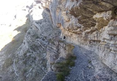
Randonnée longue et physique, mais sans problème technique.
On peut éviter la boucle en garant une voiture au lac de Charance et une autre au départ vers Corréo.


Wandern

Wandern

Wandern

Wandern

Wandern

Wandern

Wandern

Zu Fuß
Wandern