


7 km | 18 km-effort

Benutzer


Kostenlosegpshiking-Anwendung
 SityTrail
IGN / Geografische Institute
SityTrail World
Die Welt öffnet sich für Sie
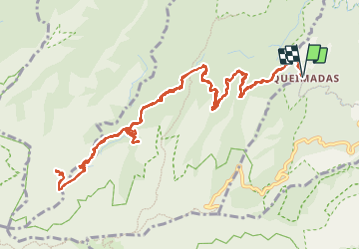
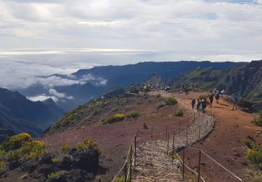
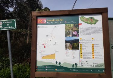
Tour Wandern von 19,2 km verfügbar auf Madeira, Unbekannt, Santana. Diese Tour wird von Bart2015 vorgeschlagen.
Randonnée très bien décrite dans le Rother Madère - n°28 et 29.
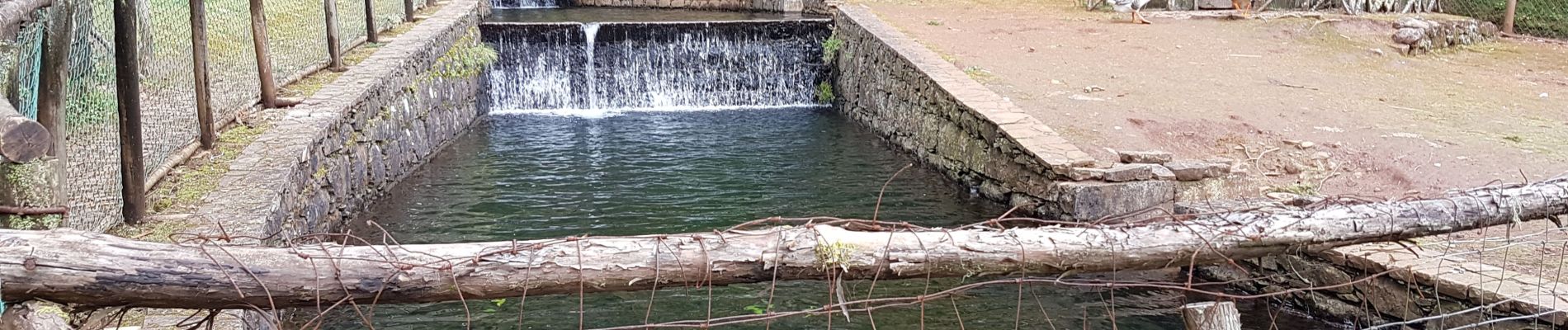
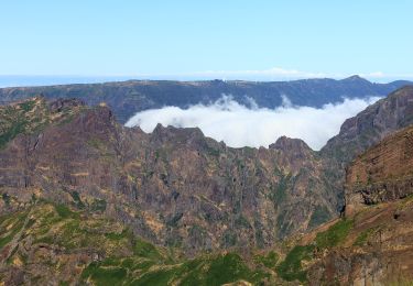
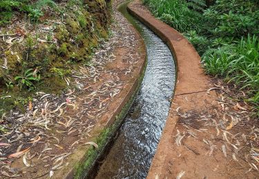
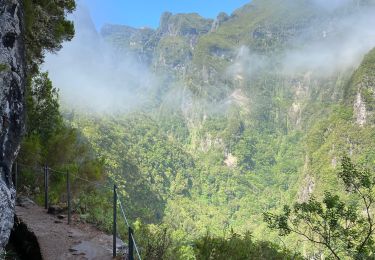
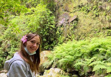
Très belle randonnée dans le cirque vert qui suit une des plus spectaculaires levadas, la Levada do Caldeirao façonnée dans la partie rocheuse. De nombreuses cascades, de nombreux tunnels agrémentent la rando. La dernière est magnifique ... Pour les plus courageux, vous pouvez poursuivre sur le Caldeirao do Inferno qui vaut le détour. Elle est un peu plus physique mais vous ne le regretterez pas : cascades, tunnels, ...
Les chaussures hautes et les frontales sont très conseillées ...
Bonne rando ...


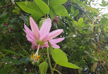
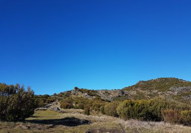
61 Fotos insgesamt. Klicken Sie auf ein Foto, um sie alle in der Galerie zu sehen.
Zu Fuß
Zu Fuß
Wandern
Wandern
Wandern
Wandern
Wandern
Wandern