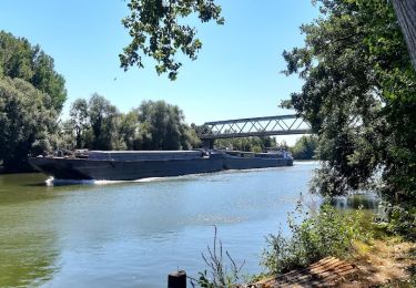
10,9 km | 13,1 km-effort
creil plateau
Christophe 60
Benutzer
Länge
48 km
Maximale Höhe
115 m
Positive Höhendifferenz
391 m
Km-Effort
53 km
Min. Höhe
24 m
Negative Höhendifferenz
396 m
Boucle
Nein
Erstellungsdatum :
2022-03-28 01:49:45.233
Letzte Änderung :
2022-03-28 03:59:57.082
2h09
Schwierigkeit : Sehr leicht
Kostenlosegpshiking-Anwendung
Über SityTrail
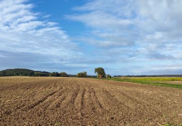
Tour Auto von 48 km verfügbar auf Nordfrankreich, Oise, Jonquières. Diese Tour wird von Christophe 60 vorgeschlagen.
Ort
Land:
France
Region :
Nordfrankreich
Abteilung/Provinz :
Oise
Kommune :
Jonquières
Standort:
Unknown
Gehen Sie:(Dec)
Gehen Sie:(UTM)
480812 ; 5472264 (31U) N.
Kommentare
Touren in der Umgebung
053B JONQUIERES De Jaux au Boucquy
Wandern
Schwierig
Jonquières,
Nordfrankreich,
Oise,
France
2h 59min
Ja
Au bois de Marie Louise Nord - Lacroix Saint Ouen
Mountainbike
Medium
Lacroix-Saint-Ouen,
Nordfrankreich,
Oise,
France
26 km | 30 km-effort
2h 0min
Ja
Hervé
Mountainbike
Schwierig
Armancourt,
Nordfrankreich,
Oise,
France
31 km | 37 km-effort
2h 2min
Ja
Compiegne
Wandern
Sehr leicht
Compiègne,
Nordfrankreich,
Oise,
France
5,5 km | 6 km-effort
1h 19min
Ja
Hermant
Hybrid-Bike
Einfach
Armancourt,
Nordfrankreich,
Oise,
France
13 km | 15,5 km-effort
56min
Ja
le fayel mars 2014
Andere Aktivitäten
Medium
Le Fayel,
Nordfrankreich,
Oise,
France
46 km | 54 km-effort
1h 58min
Ja
le fayel 31 mars 2013
Motor
Schwierig
Le Fayel,
Nordfrankreich,
Oise,
France
80 km | 97 km-effort
4h 16min
Nein
Le peux
sport
Sehr leicht
Le Meux,
Nordfrankreich,
Oise,
France
11,8 km | 14,9 km-effort
Unbekannt
Ja