


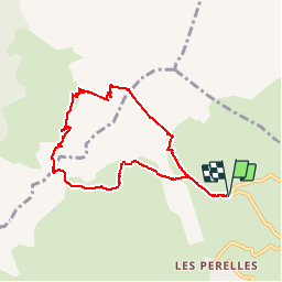

13,8 km | 33 km-effort


Benutzer


Kostenlosegpshiking-Anwendung
 SityTrail
IGN / Geografische Institute
SityTrail World
Die Welt öffnet sich für Sie
Tour Wandern von 7,9 km verfügbar auf Auvergne-Rhone-Alpen, Savoyen, Saint-François-Longchamp. Diese Tour wird von GGsavoie vorgeschlagen.
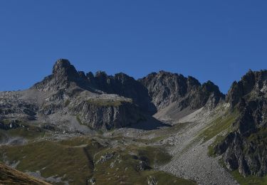
Au départ du télésiège de la Lauzière à St François Longchamp.
Tres belle boucle de 8km et 880 de dénivelée Ambiance montagne. Grande descente après le col de Sarvatan puis remontée qui apparaît de loin impressionnante mais se fait très bien. Ne pas y aller trop tôt en saison à cause des névés.

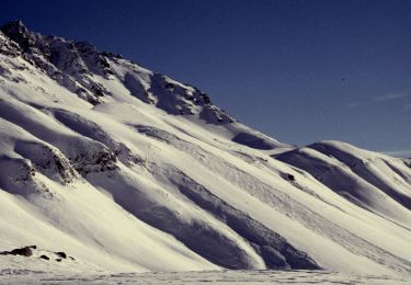
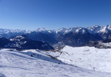
Skiwanderen

Skiwanderen
Zu Fuß
Zu Fuß
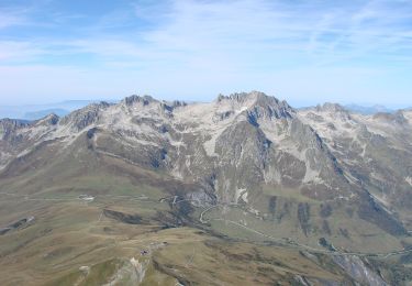
Zu Fuß
Zu Fuß
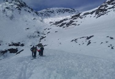
Skiwanderen

Wandern
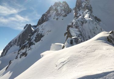
Skiwanderen