


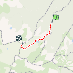

11,9 km | 24 km-effort

Benutzer


Kostenlosegpshiking-Anwendung
 SityTrail
IGN / Geografische Institute
SityTrail World
Die Welt öffnet sich für Sie
Tour Wandern von 5,1 km verfügbar auf Okzitanien, Ariège, Le Pla. Diese Tour wird von tracegps vorgeschlagen.
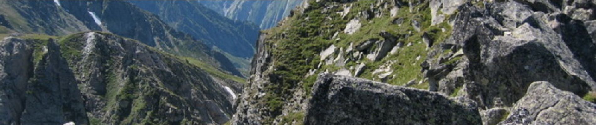
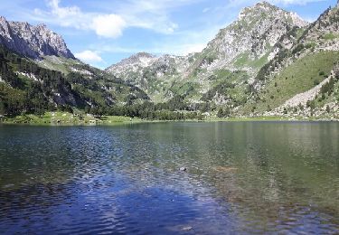
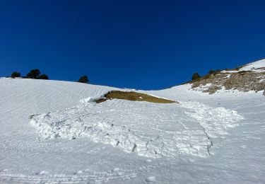
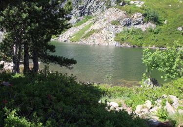
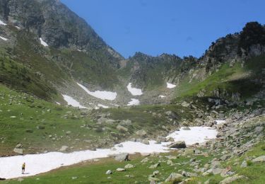
Un aller-retour du parking du refuge Forestier du Laurenti au Roc Blanc. La vallée du Laurenti est merveilleuse et recouverte de genêts. À faire fin juin – début juillet. Il faut une heure et demie pour atteindre l’étang. Sentier facile pour tous les marcheurs du plus jeune aux plus âgés. L’étang de Laurenti est bien connu des pécheurs. Beaucoup y font du bivouac. Ensuite, le sentier monte fortement vers le col de Laurenti. Il n’est pas rare de traverser des névés, quelle que soit la saison. Ces passages ludiques sont facilement contournables. Du col de Laurenti, la vue sur la chaîne des Pyrénées, la vallée de l’Orlu et la dent d’Orlu mérite une pause. Plus que 150 mètres de dénivelée pour atteindre Le Roc Blanc. Cette dernière partie du parcours est raide. L’arrivée au sommet est très «aérienne». Que de gros blocs de pierre où il faut mettre les mains. Pour les plus fatigués qui ne souhaitent pas aller jusqu’au sommet, il est possible de se mettre à l’abri au col et d’attendre tranquillement le retour des plus gaillards en appréciant le paysage.


Wandern
Wandern
Wandern
Wandern
Wandern
Schneeschuhwandern
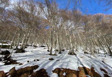
Schneeschuhwandern
Wandern
Wandern