


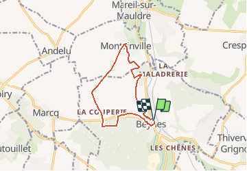

11,9 km | 13,2 km-effort


Benutzer


Kostenlosegpshiking-Anwendung
 SityTrail
IGN / Geografische Institute
SityTrail World
Die Welt öffnet sich für Sie
Tour Wandern von 10,7 km verfügbar auf Île-de-France, Yvelines, Beynes. Diese Tour wird von tracegps vorgeschlagen.
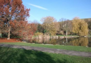
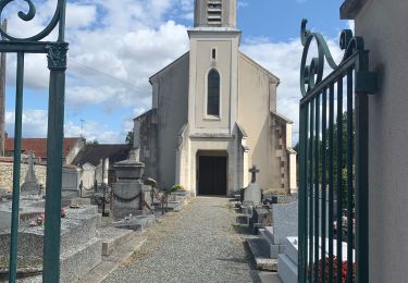
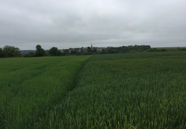
Au début du XXe siècle, la construction de la gare et l'arrivée du chemin de fer permettent l'extension de la Beynes. La ville possède l'un des principaux réservoirs de gaz souterrain de France et a axé son développement économique à partir des années 1960 autour de son exploitation. Randonnée extraite du Topoguide Les Chemins de Gally, 30 randonnées secrètes et inattendues, toujours attachantes et magnifiques. Elles serpentent à travers 26 villages de la Plaine de Versailles et du Plateau des Alluets, autrefois inclus dans le Grand Parc, ou situés dans sa perspective paysagère, théâtre des chasses du roi, témoins de notre histoire depuis plusieurs millénaires, et qui ont laissé leur empreinte dans le sol et dans la pierre. Commandez le Topoguide Les Chemins de Gally, par courrier à L’A.P.P.V.P.A. - Tel: 01 34 62 83 47 - Bâtiment le Relais - 37 rue Lebourblanc, 78590 Noisy le Roi.


Wandern
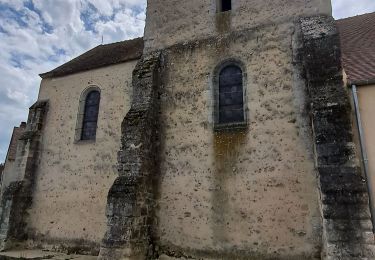
Wandern
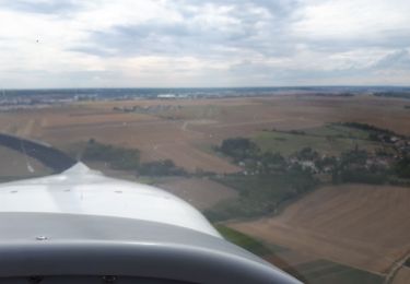
Flugzeug
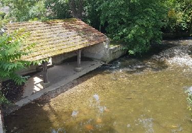
Wandern
Wandern
Wandern
Wandern
Wandern