


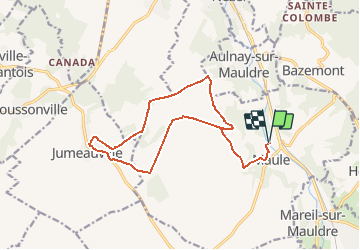


8,4 km | 10,9 km-effort


Benutzer


Kostenlosegpshiking-Anwendung
 SityTrail
IGN / Geografische Institute
SityTrail World
Die Welt öffnet sich für Sie
Tour Wandern von 15,1 km verfügbar auf Île-de-France, Yvelines, Maule. Diese Tour wird von tracegps vorgeschlagen.
Le musée Victor Aubert a été fondé en 1938 sur les vestiges de l'ancien prieuré de Saint-Évroult, dont il demeure une salle du XIIIe siècle, inscrite aux Monuments Historiques, et des combles avec charpente du XVe siècle. Le musée, classé Musée de France, abrite des collections archéologiques, des objets et des documents d'arts et traditions populaires de la vallée de la Mauldre. Randonnée extraite du Topoguide Les Chemins de Gally, 30 randonnées secrètes et inattendues, toujours attachantes et magnifiques. Elles serpentent à travers 26 villages de la Plaine de Versailles et du Plateau des Alluets, autrefois inclus dans le Grand Parc, ou situés dans sa perspective paysagère, théâtre des chasses du roi, témoins de notre histoire depuis plusieurs millénaires, et qui ont laissé leur empreinte dans le sol et dans la pierre. Commandez le Topoguide Les Chemins de Gally, par courrier à L’A.P.P.V.P.A. - Tel: 01 34 62 83 47 - Bâtiment le Relais - 37 rue Lebourblanc, 78590 Noisy le Roi.


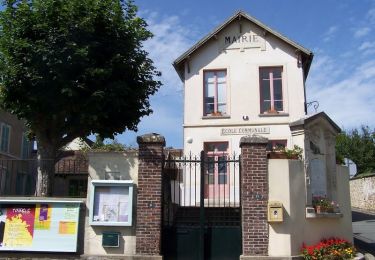
Wandern
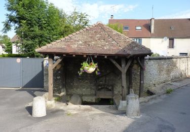
Wandern

Wandern
Wandern
Wandern
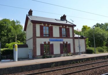
Wandern

Wandern
Wandern
Wandern