![](/images/other/stat-length.png)
![Tour Laufen La Tuilière - La Croix de l'Epinat (circuit N°14) - La Tuilière - Photo](https://media.geolcdn.com/t/1900/400/ext.pjpeg?maxdim=2&url=https%3A%2F%2Fservices.sitytrail.com%2FGeolivesWS%2FDownloadMedia.ashx%3FTrailID%3D317894%26Media%3D17301_6.jpg)
La Croix de l'Epinat (circuit N°14) - La Tuilière
tracegps
Benutzer
![Länge](/images/other/stat-length.png)
![Maximale Höhe](https://static1.geolcdn.com/siteimages/upload/files/1508320355ic_sort_altitude_max_24dp.png)
![Positive Höhendifferenz](https://static1.geolcdn.com/siteimages/upload/files/1508320355ic_sort_den_pos_24dp.png)
![Km-Effort](/images/other/stat-length.png)
![Min. Höhe](https://static1.geolcdn.com/siteimages/upload/files/1508320355ic_sort_altitude_min_24dp.png)
![Negative Höhendifferenz](https://static1.geolcdn.com/siteimages/upload/files/1508320355ic_sort_den_neg_24dp.png)
![Boucle](https://static1.geolcdn.com/siteimages/upload/files/16400158638029165_repeat_loop_refresh_sync_direction_icon.png)
![Laufen](https://static1.geolcdn.com/sitytour/trail-icons/103.png)
2h15
Schwierigkeit : Schwierig
![Scannen Sie diesen QR-Code, um die Tour in der SityTrail-Anwendung zu öffnen](https://capi.geolives.com/qq0zvz2zws4bq2lad0pu/sitytour/trails/317894/qr.png?size=200)
Kostenlosegpshiking-Anwendung
Über SityTrail
Tour Laufen von 16 km verfügbar auf Auvergne-Rhone-Alpen, Loire, La Tuilière. Diese Tour wird von tracegps vorgeschlagen.
Beschreibung
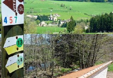
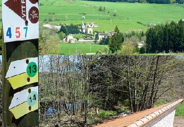
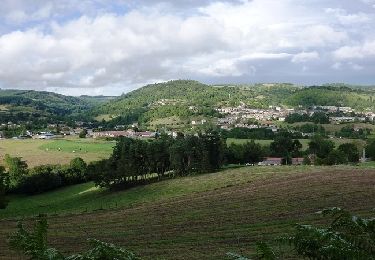
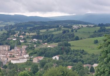
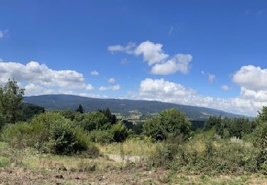
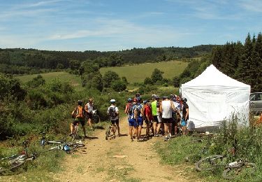
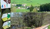
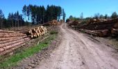
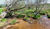
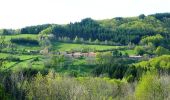
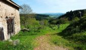
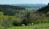
Départ du parking proche de l’église (panneaux des circuits marche et VTT). C’est le circuit N°14 qui se trouve dans le topoguide «Promenades et Randonnées en Pays d’Urfé» (30 circuits balisés). La Tuilière est sur l’axe routier entre Saint-Just-en-Chevalet et Vichy. Ce joli parcours situé au cœur d’un massif de moyenne montagne évolue en pleine nature authentique au calme et loin de tout urbanisme. Le bourg est lié à l’agriculture avec ses fermes agricoles et ses pâtures, mais aussi à l’exploitation du bois et à l’artisanat. Vous découvrirez de charmants petits hameaux avec de beaux points de vue sur les paysages et reliefs environnants. De nombreux petits ruisseaux agrémentent également cette boucle bucolique avec le bruit de l’eau qui chante au creux des vallons ou à flanc de montagne. Du parking de La Tuilerie, départs des circuits de marche N° 13 et 14 et départs des circuits VTT N° 4, 5 et 7 (voir photo village balisages). Topoguides : Promenades et Randonnées en Pays d’Urfé (30 circuits balisés) ; Espace VTT du Massif des Bois-Noirs (42 circuits balisés VTT-FFC).
Ort
Kommentare
Touren in der Umgebung
![Tour Wandern Cherier - Les Moulins Chérier : entre Les Faux et Montloup - Photo](https://media.geolcdn.com/t/375/260/35e95e0f-9bf0-4632-a277-b5de924d69b4.jpg&format=jpg&maxdim=2)
![Wandern Wandern](https://static1.geolcdn.com/sitytour/trail-icons/101.png)
Wandern
![](/images/other/stat-length.png)
![](https://static1.geolcdn.com/siteimages/upload/files/16400158638029165_repeat_loop_refresh_sync_direction_icon.png)
![Tour Mountainbike La Tuilière - La Croix de l'Epinat (circuit N°14) - La Tuilière - Photo](https://media.geolcdn.com/t/375/260/ext.jpg?maxdim=2&url=https%3A%2F%2Fservices.sitytrail.com%2FGeolivesWS%2FDownloadMedia.ashx%3FTrailID%3D317893%26Media%3D17301_6.jpg)
![Mountainbike Mountainbike](https://static1.geolcdn.com/sitytour/trail-icons/202.png)
Mountainbike
![](/images/other/stat-length.png)
![](https://static1.geolcdn.com/siteimages/upload/files/16400158638029165_repeat_loop_refresh_sync_direction_icon.png)
![Tour Wandern La Tuilière - La Croix de l'Epinat (circuit N°14) - La Tuilière - Photo](https://media.geolcdn.com/t/375/260/ext.jpg?maxdim=2&url=https%3A%2F%2Fservices.sitytrail.com%2FGeolivesWS%2FDownloadMedia.ashx%3FTrailID%3D317892%26Media%3D17301_6.jpg)
![Wandern Wandern](https://static1.geolcdn.com/sitytour/trail-icons/101.png)
Wandern
![](/images/other/stat-length.png)
![](https://static1.geolcdn.com/siteimages/upload/files/16400158638029165_repeat_loop_refresh_sync_direction_icon.png)
![Tour Mountainbike Saint-Just-en-Chevalet - Espace VTT du Massif des Bois Noirs - Circuit N° 15 - Saint-Just-en-Chevalet - Photo](https://media.geolcdn.com/t/375/260/ext.jpg?maxdim=2&url=https%3A%2F%2Fservices.sitytrail.com%2FGeolivesWS%2FDownloadMedia.ashx%3FTrailID%3D172635%26Media%3D14004_6.jpg)
![Mountainbike Mountainbike](https://static1.geolcdn.com/sitytour/trail-icons/202.png)
Mountainbike
![](/images/other/stat-length.png)
![](https://static1.geolcdn.com/siteimages/upload/files/16400158638029165_repeat_loop_refresh_sync_direction_icon.png)
![Tour Mountainbike Saint-Just-en-Chevalet - La Bois Noir Oxygène 2011 / Parcours de 100 km / Saint Just en Chevalet - Photo](https://media.geolcdn.com/t/375/260/ext.jpg?maxdim=2&url=https%3A%2F%2Fservices.sitytrail.com%2FGeolivesWS%2FDownloadMedia.ashx%3FTrailID%3D106872%26Media%3D11619_6.jpg)
![Mountainbike Mountainbike](https://static1.geolcdn.com/sitytour/trail-icons/202.png)
Mountainbike
![](/images/other/stat-length.png)
![](https://static1.geolcdn.com/siteimages/upload/files/16400158638029165_repeat_loop_refresh_sync_direction_icon.png)
![Tour Wandern Chausseterre - retour TOP 03 - Photo](https://media.geolcdn.com/t/375/260/0e639819-d824-4c70-9258-9551f02b9c2e.jpg&format=jpg&maxdim=2)
![Wandern Wandern](https://static1.geolcdn.com/sitytour/trail-icons/101.png)
Wandern
![](/images/other/stat-length.png)
![](https://static1.geolcdn.com/siteimages/upload/files/16400158638029165_repeat_loop_refresh_sync_direction_icon.png)
![Tour Wandern Saint-Just-en-Chevalet - St-Just-en-Chevalet : Arpheuille - Photo](https://media.geolcdn.com/t/375/260/218af0f0-78dd-4fc7-883c-2d22964fb326.jpg&format=jpg&maxdim=2)
![Wandern Wandern](https://static1.geolcdn.com/sitytour/trail-icons/101.png)
Wandern
![](/images/other/stat-length.png)
![](https://static1.geolcdn.com/siteimages/upload/files/16400158638029165_repeat_loop_refresh_sync_direction_icon.png)
![Tour Wandern Cherier - Randonnée sur le Plateau de Cherrier - Photo](https://media.geolcdn.com/t/375/260/ext.jpg?maxdim=2&url=https%3A%2F%2Fservices.sitytrail.com%2FGeolivesWS%2FDownloadMedia.ashx%3FTrailID%3D107308%26Media%3D12197_1.jpg)
![Wandern Wandern](https://static1.geolcdn.com/sitytour/trail-icons/101.png)
Wandern
![](/images/other/stat-length.png)
![](https://static1.geolcdn.com/siteimages/upload/files/16400158638029165_repeat_loop_refresh_sync_direction_icon.png)
![Tour Mountainbike Saint-Just-en-Chevalet - BNO 2011 46kms - Saint Just en Chevalet - Photo](https://media.geolcdn.com/t/375/260/ext.jpg?maxdim=2&url=https%3A%2F%2Fservices.sitytrail.com%2FGeolivesWS%2FDownloadMedia.ashx%3FTrailID%3D106816%26Media%3D11516_2.jpg)
![Mountainbike Mountainbike](https://static1.geolcdn.com/sitytour/trail-icons/202.png)
Mountainbike
![](/images/other/stat-length.png)
![](https://static1.geolcdn.com/siteimages/upload/files/16400158638029165_repeat_loop_refresh_sync_direction_icon.png)