


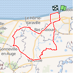

16,6 km | 17,4 km-effort


Benutzer


Kostenlosegpshiking-Anwendung
 SityTrail
IGN / Geografische Institute
SityTrail World
Die Welt öffnet sich für Sie
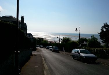
Tour Laufen von 16,6 km verfügbar auf Normandie, Calvados, Cabourg. Diese Tour wird von tracegps vorgeschlagen.
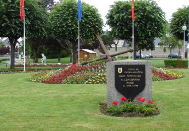
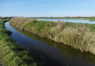
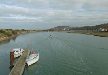
Circuit des marais à Cabourg de 16km. Ce circuit est proposé par l'office du tourisme de Cabourg (donc balisé). Départ à coté du circuit de karting, passage dans les marais et les champs.


Wandern
Wandern
Wandern
Wandern

Wandern
Zu Fuß
Zu Fuß
Wandern
Wandern
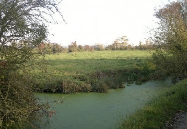
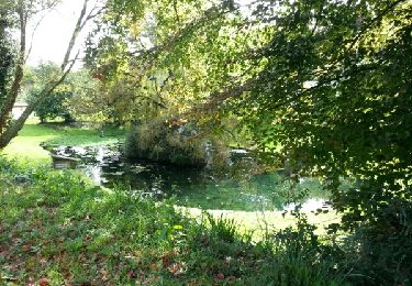
Balade à travers le marais sympathique