


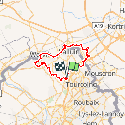

12 km | 13,2 km-effort

Benutzer


Kostenlosegpshiking-Anwendung
 SityTrail
IGN / Geografische Institute
SityTrail World
Die Welt öffnet sich für Sie
Tour Mountainbike von 43 km verfügbar auf Nordfrankreich, Nord, Roncq. Diese Tour wird von tracegps vorgeschlagen.
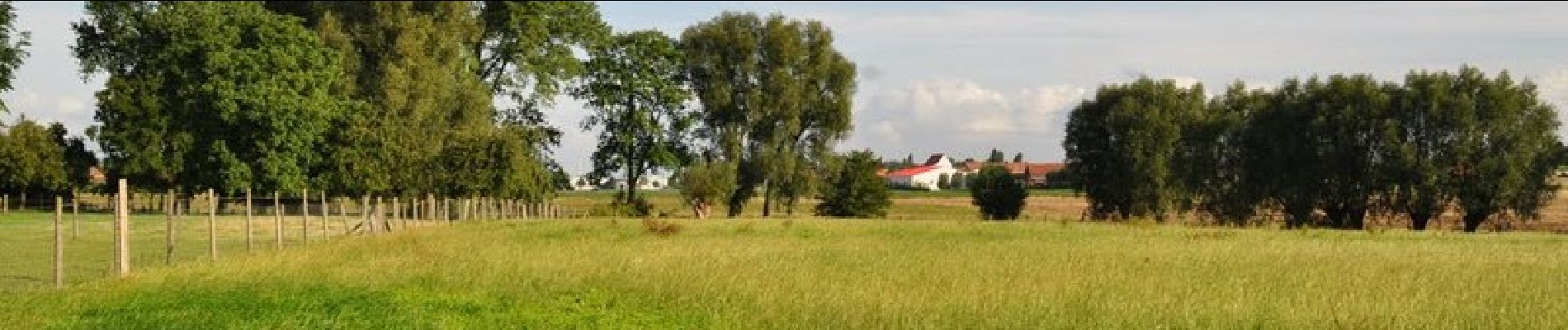
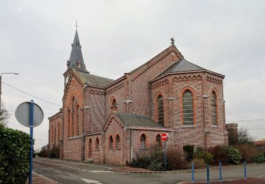
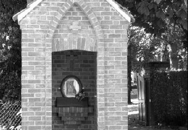
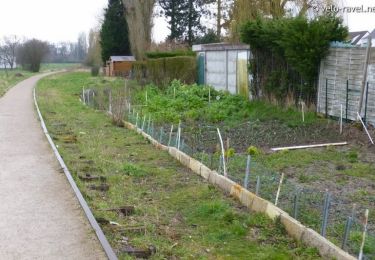
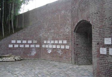
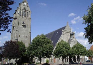
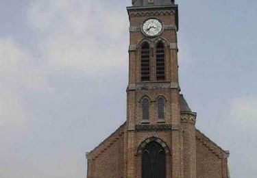
Circuit sans grosses difficultés physiques, des passages techniques sympas dans une multitude de types de paysage, de la route, du quartier, du parc, du chemin entre champs, du bois, du long de canal avec sa nature végétale et animal, des zones de pause ou de piquenique disponibles avec banc et tables. Pas obligé de faire un temps, la sortie peut se faire en famille avec possibilité de couper pour raccourcir ou éviter une difficulté. Possibilité de prendre le circuit à beaucoup d'endroits avec parking pour laisser sa voiture au besoin.


Wandern
Zu Fuß
Laufen
Andere Aktivitäten
Wandern
Wandern

Wandern
Wandern
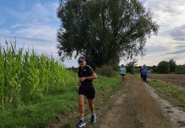
Laufen