


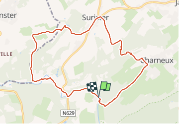


10,1 km | 13,3 km-effort

Benutzer


Kostenlosegpshiking-Anwendung
 SityTrail
IGN / Geografische Institute
SityTrail World
Die Welt öffnet sich für Sie
Tour Wandern von 9,7 km verfügbar auf Wallonien, Lüttich, Jalhay. Diese Tour wird von Cyril Nicolay vorgeschlagen.
gpx avec explications sur le site
mini-ardenne.be
balade royompre jalhay le moulin de gohy


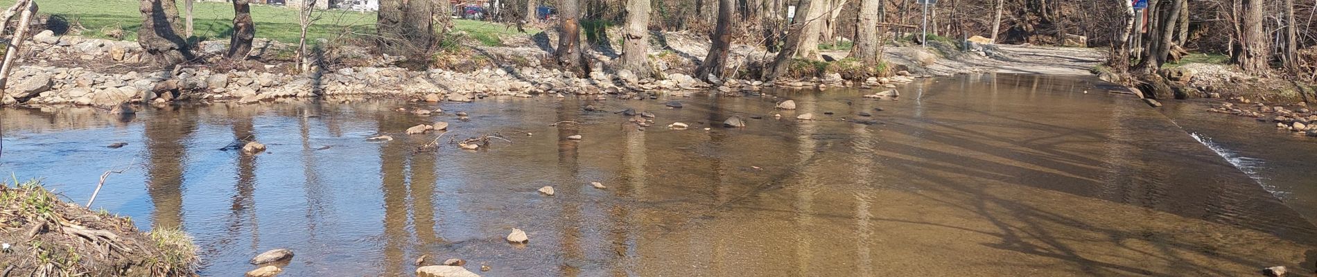
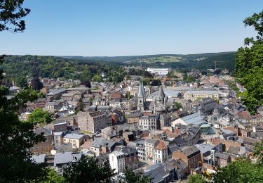
24 Fotos insgesamt. Klicken Sie auf ein Foto, um sie alle in der Galerie zu sehen.

Wandern

Wandern

Wandern

Wandern

Wandern
Wandern

Zu Fuß

Wandern

Wandern