


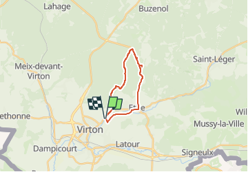


29 km | 35 km-effort

Benutzer


Kostenlosegpshiking-Anwendung
 SityTrail
IGN / Geografische Institute
SityTrail World
Die Welt öffnet sich für Sie
Tour Mountainbike von 14,7 km verfügbar auf Wallonien, Luxemburg, Wirten. Diese Tour wird von Pascal L vorgeschlagen.
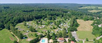
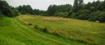
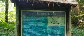
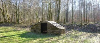
Aller/Retour: Virton (Pierrard)
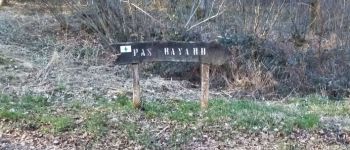
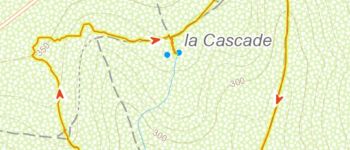
Endroits de passage: Pierrard, Ravel (ligne 155), Ethe, Pas Bayard, Bois du Bon Lieu, Vallée de Rabais
(2022.03.19)


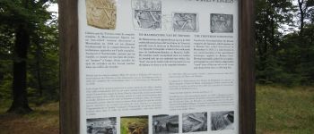
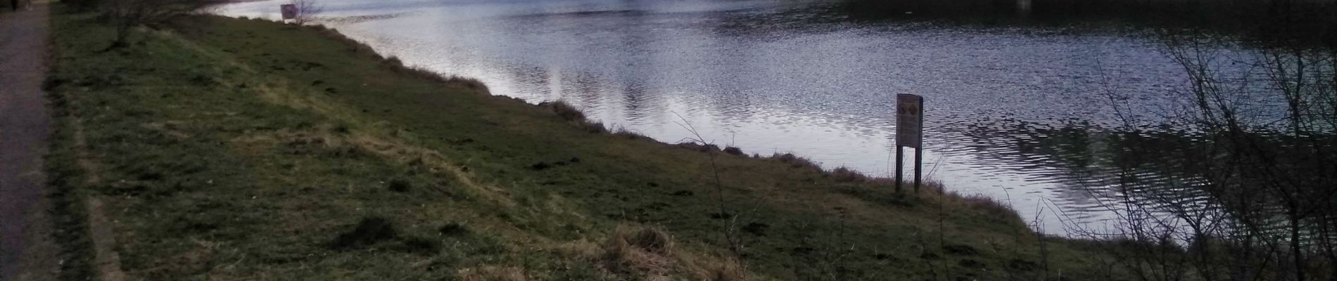
23 Fotos insgesamt. Klicken Sie auf ein Foto, um sie alle in der Galerie zu sehen.

Wandern

Mountainbike

Wandern

Zu Fuß

Wandern

Wandern

Mountainbike

Mountainbike

Mountainbike