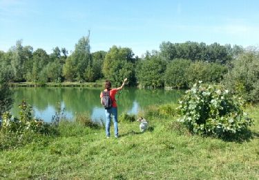
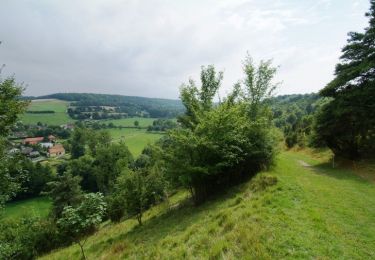
5,1 km | 6,2 km-effort
Taisnil
dedehenry
Benutzer
Länge
9,4 km
Maximale Höhe
138 m
Positive Höhendifferenz
196 m
Km-Effort
12 km
Min. Höhe
69 m
Negative Höhendifferenz
195 m
Boucle
Ja
Erstellungsdatum :
2022-03-22 07:56:34.0
Letzte Änderung :
2022-03-22 10:40:57.023
2h43
Schwierigkeit : Medium
Kostenlosegpshiking-Anwendung
Über SityTrail
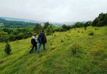
Tour Wandern von 9,4 km verfügbar auf Nordfrankreich, Somme, Namps-Maisnil. Diese Tour wird von dedehenry vorgeschlagen.
Beschreibung
Scilles
Ort
Land:
France
Region :
Nordfrankreich
Abteilung/Provinz :
Somme
Kommune :
Namps-Maisnil
Standort:
Unknown
Gehen Sie:(Dec)
Gehen Sie:(UTM)
438301 ; 5517224 (31U) N.
Kommentare
Touren in der Umgebung
Le Parcours du chevreuil
Wandern
Einfach
(1)
Bacouel-sur-Selle,
Nordfrankreich,
Somme,
France
1h 40min
Ja
Les Monts de Velennes
Zu Fuß
Einfach
Contre,
Nordfrankreich,
Somme,
France
5,9 km | 6,7 km-effort
1h 30min
Nein
Le Parcours du Chevreuil
Zu Fuß
Einfach
Bacouel-sur-Selle,
Nordfrankreich,
Somme,
France
5 km | 6 km-effort
1h 22min
Ja
Le Bois du Quesnoy
Zu Fuß
Einfach
Fossemanant,
Nordfrankreich,
Somme,
France
8,2 km | 9,5 km-effort
2h 9min
Nein
Les étangs de Conty
Wandern
Einfach
Ô-de-Selle,
Nordfrankreich,
Somme,
France
7,9 km | 8,6 km-effort
1h 53min
Ja
La coulée verte en Somme (2)
Wandern
Medium
Ô-de-Selle,
Nordfrankreich,
Somme,
France
9,7 km | 10,6 km-effort
3h 0min
Nein
Le Bois du Quesnoy
Wandern
Medium
Fossemanant,
Nordfrankreich,
Somme,
France
8,3 km | 9,6 km-effort
2h 40min
Ja
Loeuilly
sport
Sehr leicht
Ô-de-Selle,
Nordfrankreich,
Somme,
France
9 km | 10,2 km-effort
Unbekannt
Ja
Malplatel
sport
Sehr leicht
Creuse,
Nordfrankreich,
Somme,
France
24 km | 28 km-effort
Unbekannt
Nein