


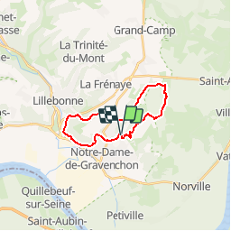

24 km | 29 km-effort

Benutzer


Kostenlosegpshiking-Anwendung
 SityTrail
IGN / Geografische Institute
SityTrail World
Die Welt öffnet sich für Sie
Tour Pferd von 17,6 km verfügbar auf Normandie, Seine-Maritime, Port-Jérôme-sur-Seine. Diese Tour wird von tracegps vorgeschlagen.
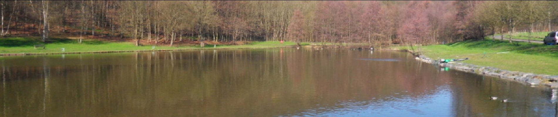
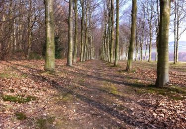
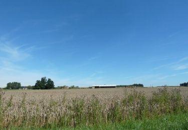
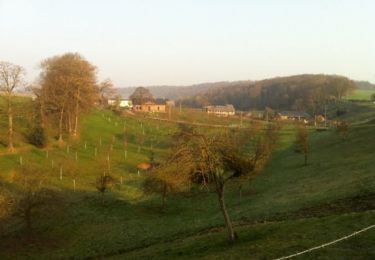
Ce circuit au départ des étangs du Théluet permet de découvrir Gravenchon à travers ses plaines et ses bois environnants. Joli Paysage au départ .


Pferd
Mountainbike

Pferd
Mountainbike
Wandern

Wandern
Wandern
Wandern
Wandern