


52 km | 63 km-effort

Benutzer


Kostenlosegpshiking-Anwendung
 SityTrail
IGN / Geografische Institute
SityTrail World
Die Welt öffnet sich für Sie
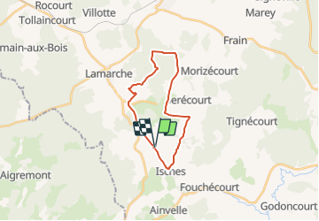
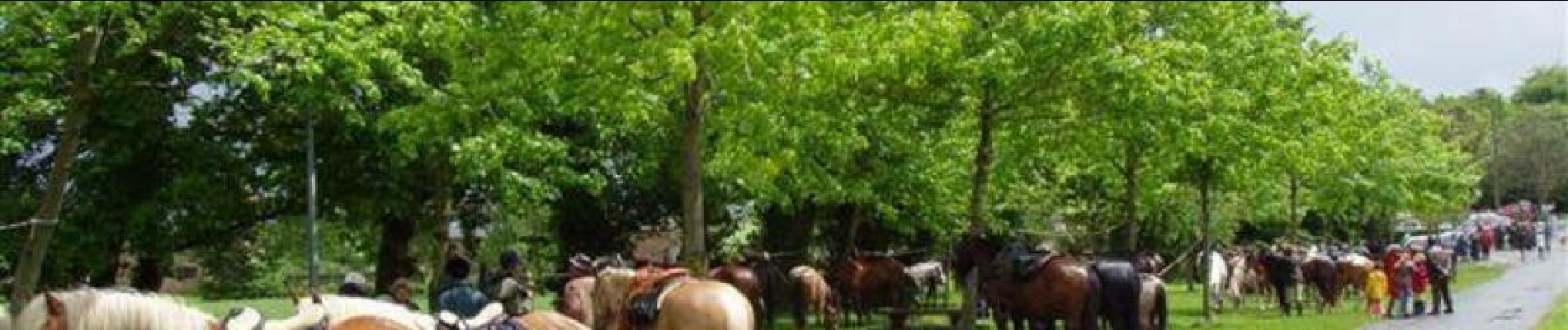
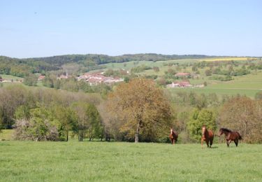
Tour Pferd von 19,4 km verfügbar auf Großer Osten, Vogesen, Isches. Diese Tour wird von tracegps vorgeschlagen.
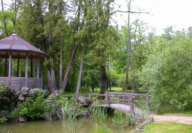
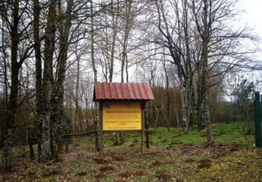
Départ de l’Arboretum de Isches. Retrouvez le le plan du circuit équestre sur le site du Syndicat d’initiative du pays de Saône et Mouzon.
 - Photo 1")
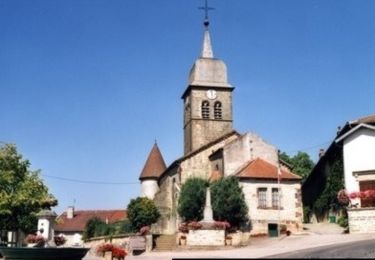
 - Photo 2")
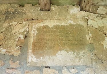
 - Photo 3")
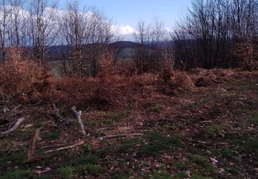
 - Photo 4")
 - Photo 5")
 - Photo 6")
Mountainbike

Pferd
Pferd
Mountainbike
Mountainbike
Wandern
Wandern
Wandern

Wandern