


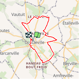

13,1 km | 14,9 km-effort

Benutzer


Kostenlosegpshiking-Anwendung
 SityTrail
IGN / Geografische Institute
SityTrail World
Die Welt öffnet sich für Sie
Tour Andere Aktivitäten von 13,2 km verfügbar auf Normandie, Seine-Maritime, Doudeville. Diese Tour wird von tracegps vorgeschlagen.
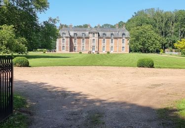
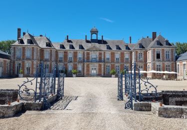
Au départ de la capitale du Lin, découvrez le patrimoine varié des hameaux, empruntez l'ancienne voie romaine.


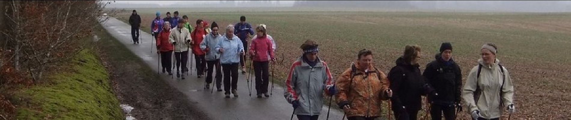
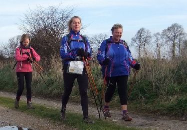
Wandern
Andere Aktivitäten

Wandern
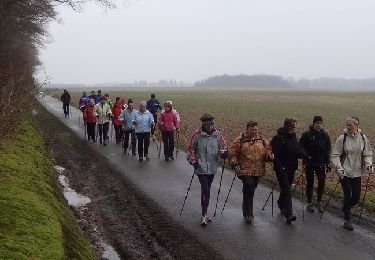
Wandern
Wandern

Wandern
Wandern
Wandern
Wandern