


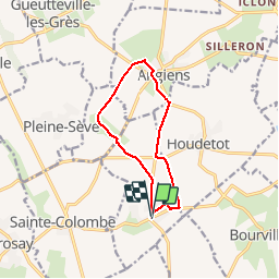

13,1 km | 14,9 km-effort


Benutzer


Kostenlosegpshiking-Anwendung
 SityTrail
IGN / Geografische Institute
SityTrail World
Die Welt öffnet sich für Sie
Tour Wandern von 9,3 km verfügbar auf Normandie, Seine-Maritime, Ermenouville. Diese Tour wird von tracegps vorgeschlagen.
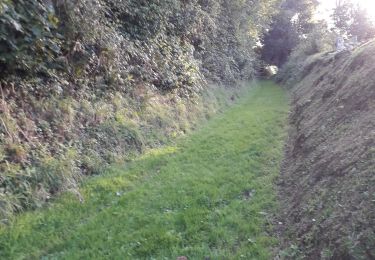
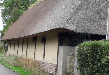
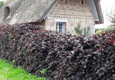
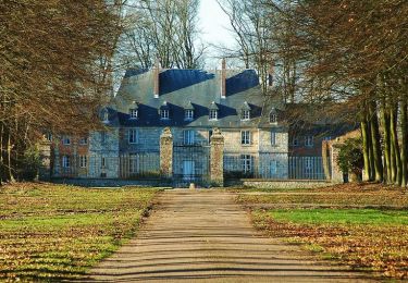
Jardin et parcours botanique sur la flore sauvage cauchoise du Mesnil Durdent. Château du Mesnil Geoffroy et belles chaumières. La proposition GPS est une variante du circuit balisé en jaune et comporte donc une partie non balisée.


Wandern
Wandern
Wandern

Wandern
Wandern

Andere Aktivitäten
Laufen

Wandern

Andere Aktivitäten