


18 km | 22 km-effort

Benutzer GUIDE


Kostenlosegpshiking-Anwendung
 SityTrail
IGN / Geografische Institute
SityTrail World
Die Welt öffnet sich für Sie
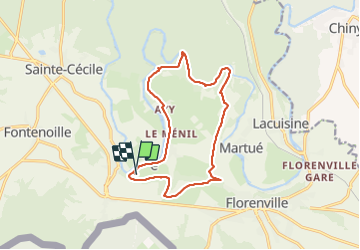
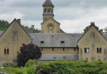
Tour Wandern von 13,1 km verfügbar auf Wallonien, Luxemburg, Florenville. Diese Tour wird von Bernard Gillet vorgeschlagen.
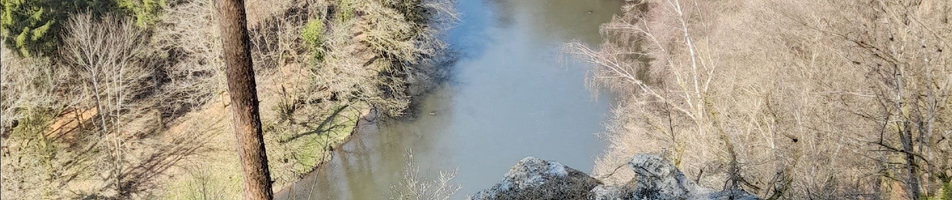
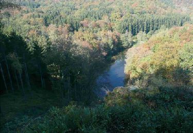
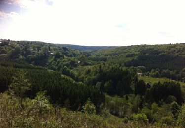
Très beau parcours de 10 km (13 km)😱 avec quelques beaux dénivelés. Superbes points de vues de la Semois. Temps réel de marche 2h28'


21 Fotos insgesamt. Klicken Sie auf ein Foto, um sie alle in der Galerie zu sehen.
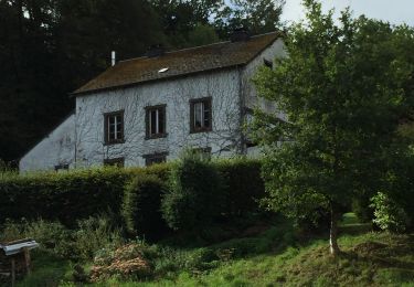
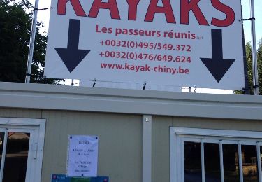
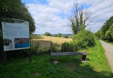
Wandern
Wandern

Wandern
Wandern

Wandern
Wandern
Wandern

Wandern
Wandern
Belle balade