


8,2 km | 9,5 km-effort


Benutzer


Kostenlosegpshiking-Anwendung
 SityTrail
IGN / Geografische Institute
SityTrail World
Die Welt öffnet sich für Sie
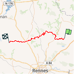
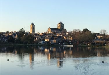
Tour Pferd von 71 km verfügbar auf Bretagne, Ille-et-Vilaine, Mézières-sur-Couesnon. Diese Tour wird von tracegps vorgeschlagen.
Canal d'Ille-et-Rance, Rigole, Boulet vous mèneront sur des secteurs avec une nature très préservée et des paysages bucoliques. Tantôt un patrimoine naturel diversifié, tantôt un patrimoine bâti où la pierre règne (cité du livre de Bécherel).


Zu Fuß
Zu Fuß

Wandern
Wandern
Wandern
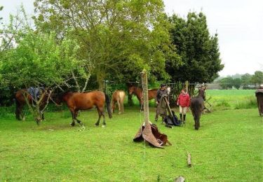
Pferd
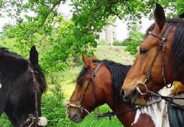
Pferd
Wandern
Wandern