


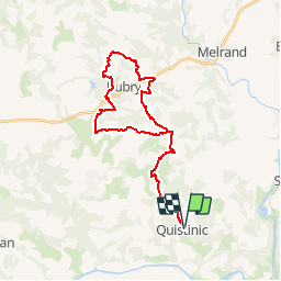

18,2 km | 24 km-effort

Benutzer


Kostenlosegpshiking-Anwendung
 SityTrail
IGN / Geografische Institute
SityTrail World
Die Welt öffnet sich für Sie
Tour Pferd von 31 km verfügbar auf Bretagne, Morbihan, Quistinic. Diese Tour wird von tracegps vorgeschlagen.
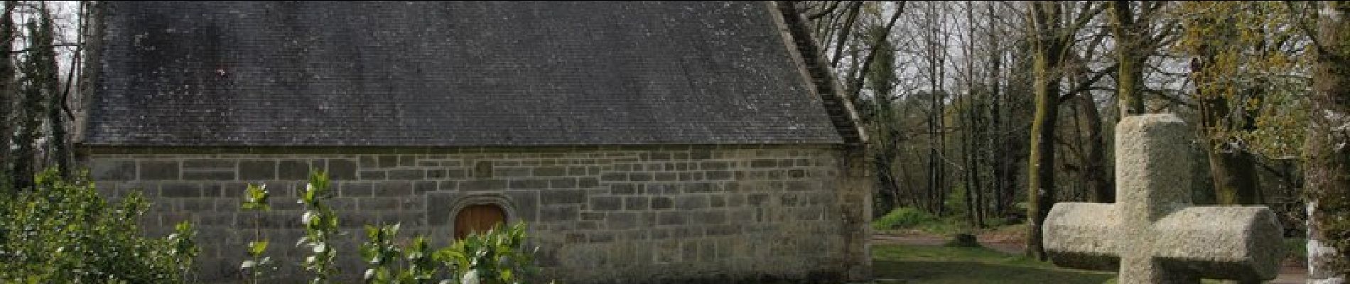
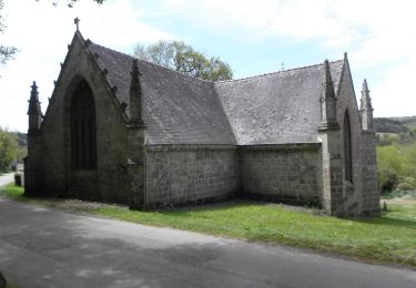
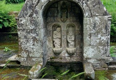
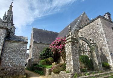
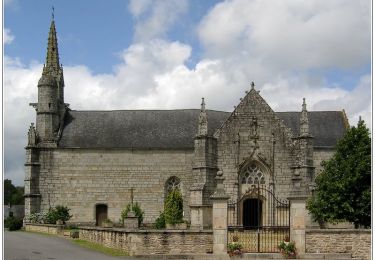
Un circuit sympa pour une bonne demi-journée à partir du cimetière de Quistinic en passant par les Chapelles de Locqueltas et de St Trémeur, et en faisant le tour de Bubry. Un peu de goudron, mais beaucoup de chemins et de bois à traverser. Assez roulant dans l'ensemble.


Zu Fuß
Wandern
Wandern
Wandern
Wandern
Wandern
Pferd

Fahrrad

Wandern